
Centimeter -level Positioning Accuracy

Multi-satellite Multi-frequency

Mature VRS Technology

10,000 Concurrent Users per Server

Timely Warning

24/7 All-Weather Operation
A New Way to Locate the World
FJD Trion N10 CORS System provides 24/7 high-precision correction data services. Its core N10 GNSS reference receiver features strong anti-interference capability and supports five major satellite systems including GPS, GLONASS, Galileo, BeiDou, and QZSS, ensuring high-precision positioning and stable operation. The built-in battery ensures continuous operation during power loss, and the management platform enables efficient administration of base stations and NTRIP accounts. The N10 makes it easier to access and utilize RTCM data in real-time via the internet, delivering reliable centimeter-level positioning solutions for applications such as surveying and mapping, precision agriculture, and robotic lawn mowing.

What Sets It Apart

Multi-Satellite & Multi-Frequency
The CORS system utilizes multi-satellite and multi-frequency data processing, resulting in strong anti-interference ability, accurate positioning, and stable performance.
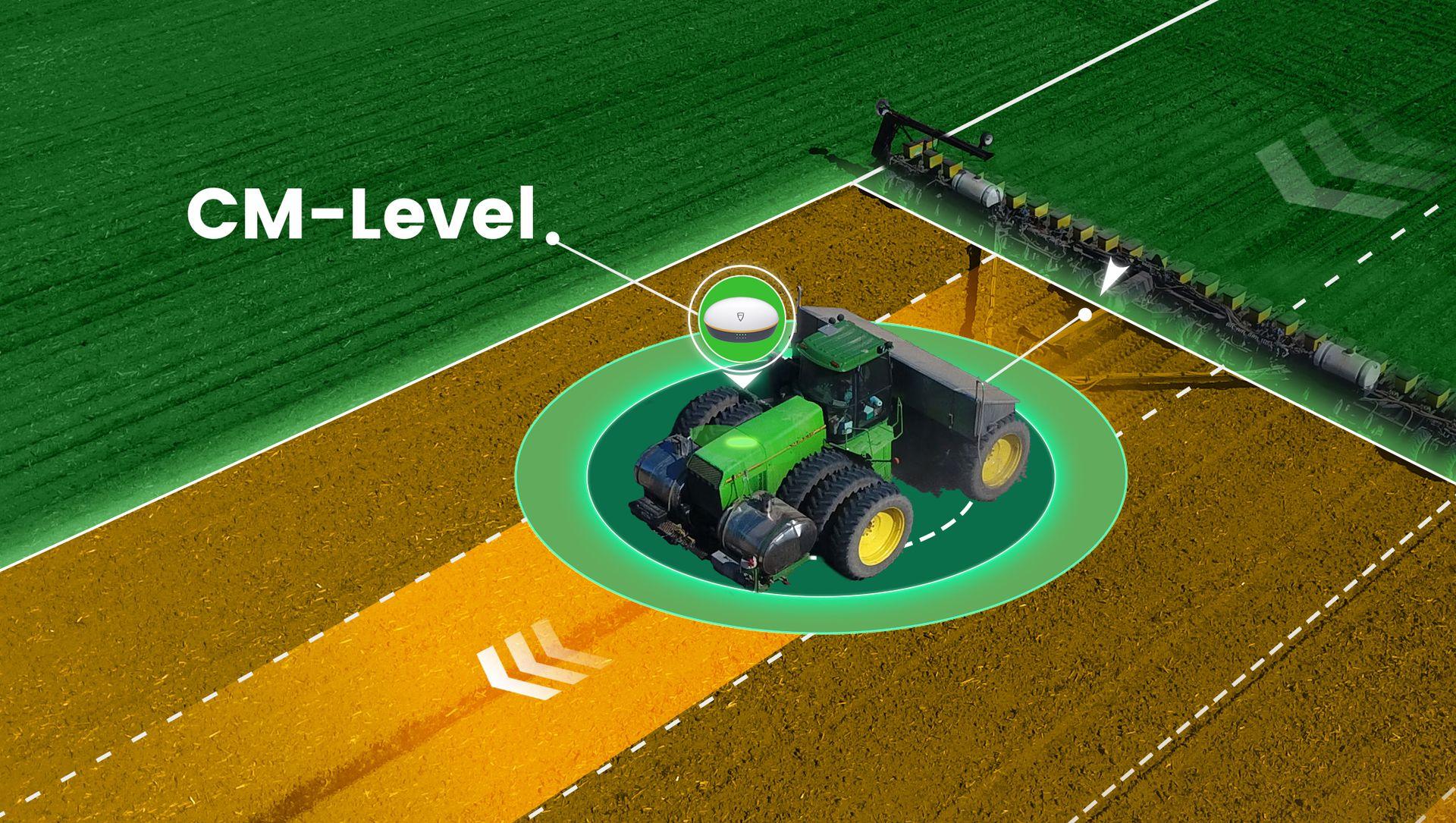
CM-Level Positioning Accuracy
The CORS system is capable of working with various terminal devices and delivering centimeter-level positioning accuracy.
Main Hardware
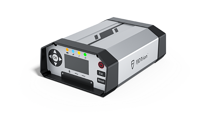
N10 CORS System hardware contains a N10 GNSS Reference Receiver and a 3D Choke Ring Antenna.
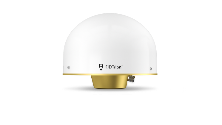
3D Choke Ring Antenna
FJD Trion N10 CORS System
FLBS
FLBS is an efficient CORS management platform that provides reference stations and user management services. The platform manager can detect faults in a timely manner through the warning service, ensuring that the FJD CORS system provides more stable positioning services.


CORS Application
FJD Tiron N10 CORS system can provide high-precision location services for users, and is widely used in various working scenarios.

Machine Control
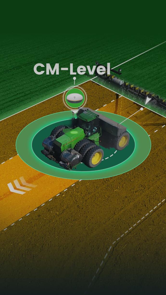
Precision Agriculture

Landscaping
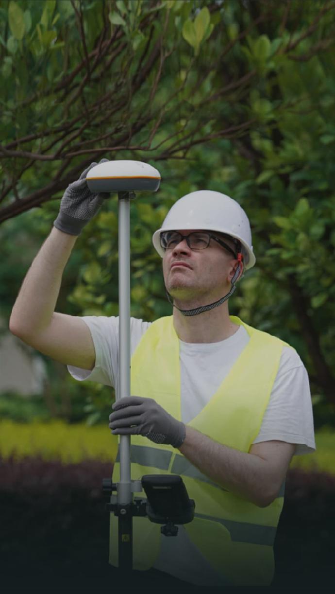
Engineering Survey

Drone Application
Create your FJD Trion plan
Our solutions support different field based workflows across construction, forestry, mining, inspection, mapping, public safety, and more. The product combination depends on how your team works today and where time or money is being lost.
If you share your project type, current workflow, and main challenge, our experts can provide you with an FJD Trion solution tailored for your team. Need a free consultation or demo? Contact Us
FJD Trion N10 CORS System Specifications

N10 GNSS Reference Receiver
Positioning
GPS: L1C/A, L2C/L2P, L5
GLO G1, G2
GAL E1, E5a, E5b
QZSS: L1C/A, L2C, L5, L1S, L1C/B
RTK (RMS)
Static differential (RMS)
Vertical: 2.5 m
Horizontal: 0.8 cm + 1 ppm
Vertical: 1.5 cm + 1 ppm
Horizontal: 2.5 mm + 1 ppm
Vertical: 5.0 mm + 1 ppm
4G network
Wi-Fi network
For configuring the receiver
Initial password: 123456789
Initial IP address: 192.168.200.1
Ethernet
Initial IP address: 192.168.1.6
I/O
Max. transmission speed: 480 Mb/s
Connector type: Type-C (USB2.0)
Usage: for connecting to an external storage or updating firmware
Recommended power supply: DC 12 V
Power supply
DC 9 V–36 V
AC 90 V–260 V
External DC power supply via LEMO connector
Physical and environmental
5 W (standard)
CGX611A 3D Choke Ring Antenna
Antenna
BDS: B1I, B3I, B1C, B2a, B2b
GPS: L1C/A, L2C/L2P, L5
GLO: G1, G2
GAL: E1, E5a, E5b
QZSS: L1C/A, L2C, L5, L1S, L1C/B
Low noise amplifier
50±2 dB
Structure
Φ185*148 mm
Environment
-40℃ to 85℃
FLBS Platform
Coverage
Full coverage
Positioning accuracy (RMS)
Horizontal: ≤ 2 cm Vertical: ≤ 5 cm
Compatibility
BDS: B1I, B3I, B1C, B2a, B2b
GPS: L1C/A, L2C/L2P, L5
GLO: G1, G2
GAL: E1, E5a, E5b
QZSS: L1C/A, L2C, L5, L1S, L1C/B
Service modes
Physical reference station
Virtual reference station (Gird VRS)
Assigned station
Stability
99.9% (365 days/year)
24/7 continuous operation
NTRIP account status changes
Ionospheric activity
Capacity
Based on a distributed cloud architecture, supporting hundreds of thousands of concurrent device connections
Internationalization
Simplified Chinese, English, French, Spanish, German, Hungarian, Turkish, Italian, Ukrainian, Japanese, Korean
