
Precisión de posicionamiento a nivel centimétrico

Multisatélite y multifrecuencia

Tecnología VRS consolidada

10.000 usuarios simultáneos por servidor

Alerta oportuna

Funcionamiento en todo tipo de clima 24/7
Una nueva forma de localizar el mundo
El sistema CORS FJD Trion N10 proporciona servicios de datos de corrección de alta precisión las 24 horas del día, los 7 días de la semana. Su receptor de referencia GNSS N10, que constituye el núcleo del sistema, cuenta con una gran capacidad antiinterferencias y es compatible con cinco sistemas satelitales principales, incluidos GPS, GLONASS, Galileo, BeiDou y QZSS, lo que garantiza un posicionamiento de alta precisión y un funcionamiento estable. La batería integrada asegura el funcionamiento continuo durante los cortes de energía, y la plataforma de gestión permite una administración eficiente de las estaciones base y de las cuentas NTRIP. El N10 facilita el acceso y el uso de datos RTCM en tiempo real a través de internet, ofreciendo soluciones fiables de posicionamiento a nivel centimétrico para aplicaciones como la topografía y cartografía, la agricultura de precisión y el corte robótico de césped.

Qué lo hace diferente

Multisatélite y multifrecuencia
El sistema CORS utiliza procesamiento de datos multisatélite y multifrecuencia, lo que da como resultado una gran capacidad antiinterferencias, un posicionamiento preciso y un rendimiento estable.
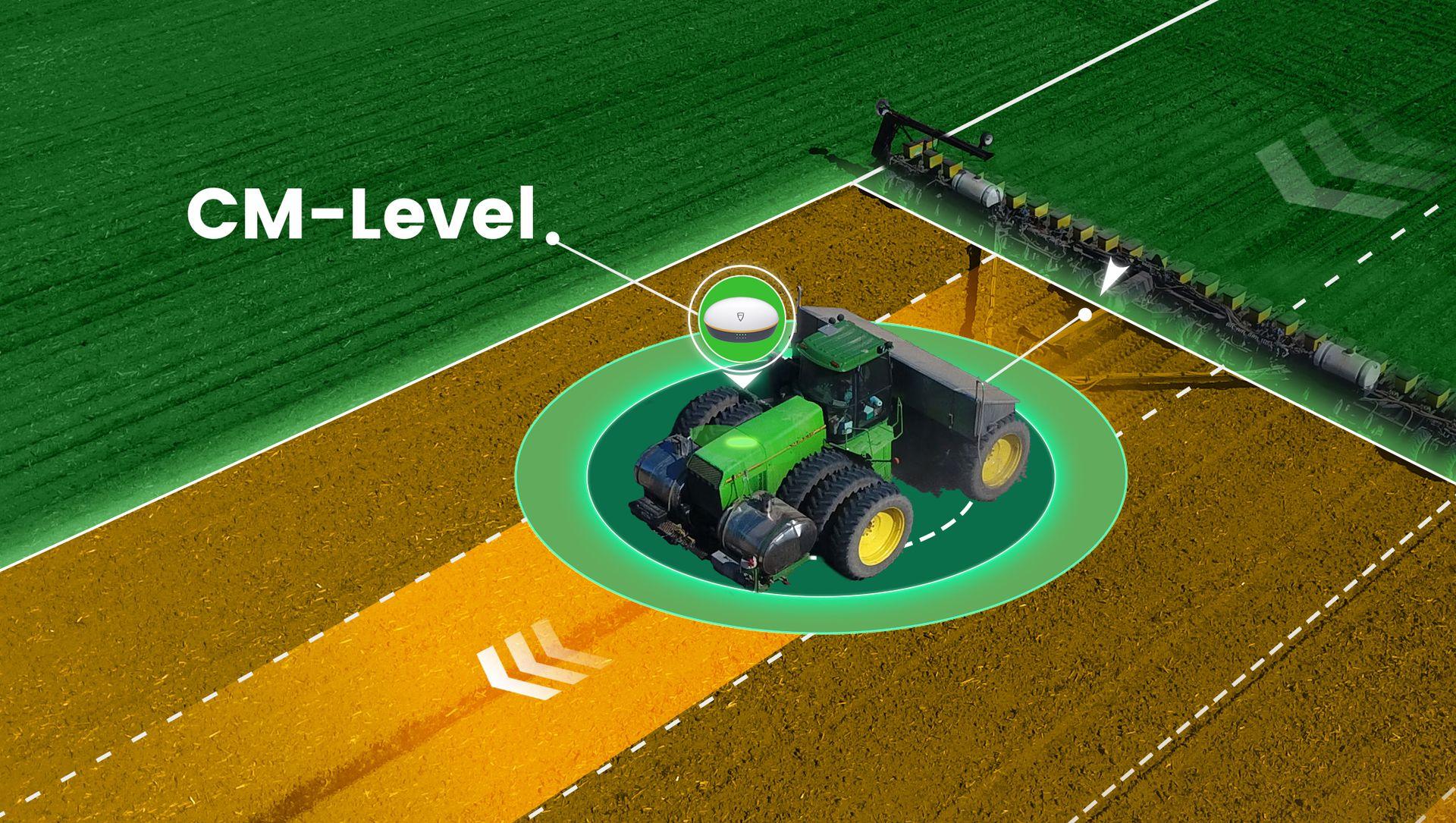
Precisión de posicionamiento a nivel centimétrico
El sistema CORS es capaz de funcionar con varios dispositivos terminales y ofrecer una precisión de posicionamiento a nivel centimétrico.
Hardware principal
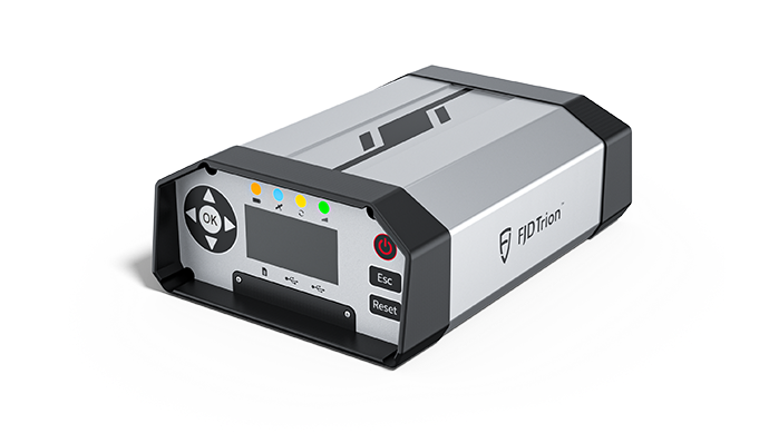
El hardware del sistema CORS N10 contiene un receptor de referencia GNSS N10 y una antena Choke Ring 3D.
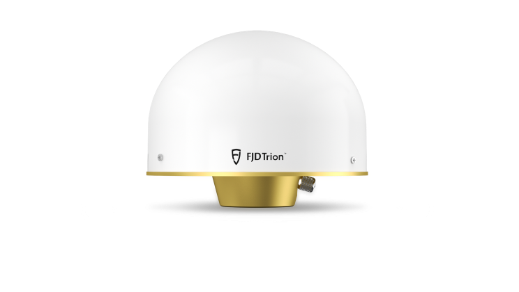
Antena Choke Ring 3D
Sistema CORS FJD Trion N10
FLBS
FLBS es una plataforma eficiente de gestión CORS que proporciona estaciones de referencia y servicios de gestión de usuarios. El administrador de la plataforma puede detectar fallos de manera oportuna mediante el servicio de alertas, garantizando que el sistema CORS de FJD proporcione servicios de posicionamiento más estables.


Aplicación CORS
El sistema CORS FJD Tiron N10 puede proporcionar servicios de localización de alta precisión para los usuarios y se utiliza ampliamente en diversos escenarios de trabajo.

Control de maquinaria
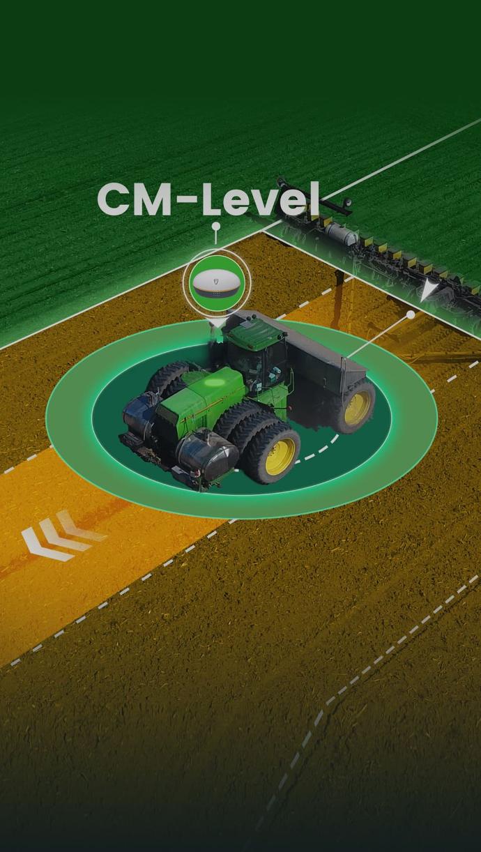
Agricultura de precisión

Paisajismo
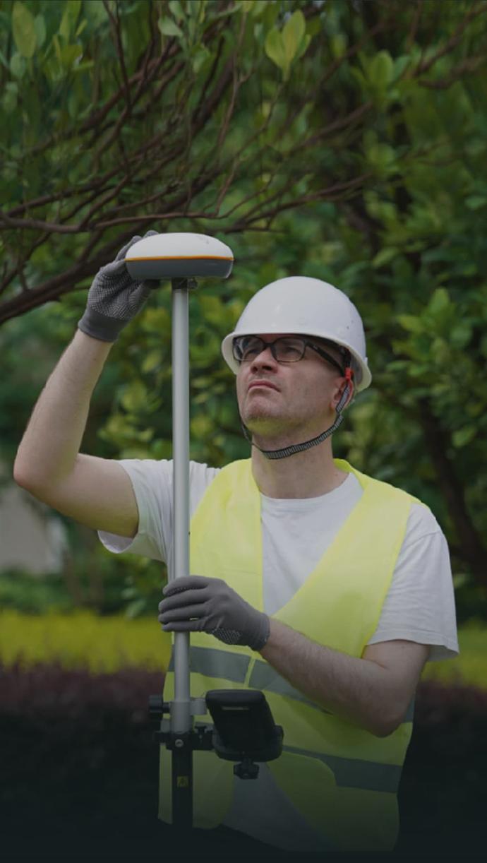
Topografía de ingeniería

Aplicación con drones
Cree su plan FJD Trion
Nuestras soluciones respaldan distintos flujos de trabajo de campo en construcción, silvicultura, minería, inspección, cartografía, seguridad pública y más. La combinación de productos depende de cómo trabaja su equipo hoy y de dónde se está perdiendo tiempo o dinero.
Si comparte su tipo de proyecto, flujo de trabajo actual y principal desafío, nuestros expertos pueden proporcionarle una solución FJD Trion adaptada a su equipo. ¿Necesita una consulta o demostración gratuita? Contáctenos
Especificaciones del sistema CORS FJD Trion N10

Receptor de referencia GNSS N10
Posicionamiento
GPS: L1C/A, L2C/L2P, L5
GLO G1, G2
GAL E1, E5a, E5b
QZSS: L1C/A, L2C, L5, L1S, L1C/B
RTK (RMS)
Diferencial estático (RMS)
Vertical: 2.5 m
Horizontal: 0.8 cm + 1 ppm
Vertical: 1.5 cm + 1 ppm
Horizontal: 2.5 mm + 1 ppm
Vertical: 5.0 mm + 1 ppm
Red 4G
Red Wi‑Fi
Para configurar el receptor
Contraseña inicial: 123456789
Dirección IP inicial: 192.168.200.1
Ethernet
Dirección IP inicial: 192.168.1.6
E/S
Velocidad máx. de transmisión: 480 Mb/s
Tipo de conector: Tipo-C (USB2.0)
Uso: para conectar a un almacenamiento externo o actualizar el firmware
Fuente de alimentación recomendada: CC 12 V
Fuente de alimentación
CC 9 V–36 V
CA 90 V–260 V
Fuente de alimentación externa de CC mediante conector LEMO
Físico y ambiental
5 W (estándar)
Antena de anillo de choque 3D CGX611A
Antena
BDS: B1I, B3I, B1C, B2a, B2b
GPS: L1C/A, L2C/L2P, L5
GLO: G1, G2
GAL: E1, E5a, E5b
QZSS: L1C/A, L2C, L5, L1S, L1C/B
Amplificador de bajo ruido
50±2 dB
Estructura
Φ185*148 mm
Entorno
-40℃ a 85℃
Plataforma FLBS
Cobertura
Cobertura total
Precisión de posicionamiento (RMS)
Horizontal: ≤ 2 cm Vertical: ≤ 5 cm
Compatibilidad
BDS: B1I, B3I, B1C, B2a, B2b
GPS: L1C/A, L2C/L2P, L5
GLO: G1, G2
GAL: E1, E5a, E5b
QZSS: L1C/A, L2C, L5, L1S, L1C/B
Modos de servicio
Estación de referencia física
Estación de referencia virtual (Grid VRS)
Estación asignada
Estabilidad
99,9 % (365 días/año)
Funcionamiento continuo 24/7
Cambios en el estado de la cuenta NTRIP
Actividad ionosférica
Capacidad
Basado en una arquitectura de nube distribuida, compatible con cientos de miles de conexiones simultáneas de dispositivos
Internacionalización
Chino simplificado, inglés, francés, español, alemán, húngaro, turco, italiano, ucraniano, japonés, coreano
