Where construction workflows lose time and accuracy

When site conditions and design data fall out of sync
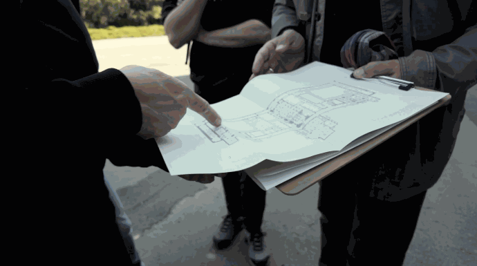
Existing conditions are captured at one stage, interpreted somewhere else, and passed between teams through separate files and manual updates. By the time the design reaches the field, the site may no longer match the information it was based on.
Repeated checks interrupt field production
Layout, excavation, grading, and placement often require crews to stop for additional measurements or wait for confirmation. These interruptions slow production and leave operators dependent on information that is not always available when they need it.
Deviations become expensive after the work Is finished
Over-dig, under-dig, incorrect elevations, slope deviations, and surface inconsistencies become more expensive to correct once materials have been placed or the next construction stage has begun.
Keep site reality, design intent, and field execution connected
A connected construction workflow keeps the same project information moving from existing-condition capture into design, layout, machine operations, and final verification. FJD Trion brings reality capture, point cloud processing, GNSS positioning, machine guidance, and as-built checks into one coordinated process. Instead of treating each stage as a separate task, teams can carry site information forward and compare completed work with the original design.

10×
Faster Field Measurement
10 min
EG10 Installation
79%
較正時間を削減
50%
Reported labor reduction
Estimated performance is based on selected FJD Trion configurations, internal workflow comparisons, and customer-reported experience. Actual results vary with project scope, site conditions, machine type, crew experience, design readiness, accuracy requirements, and the workflow being replaced.
One workflow from existing conditions to as-built evidence
正確な現場データを基盤に、現場計測、施工設計、現場墨出し、マシンガイダンス、出来形検証を、連携された1つのワークフローでつなぎます。
1. 現場状況を取得
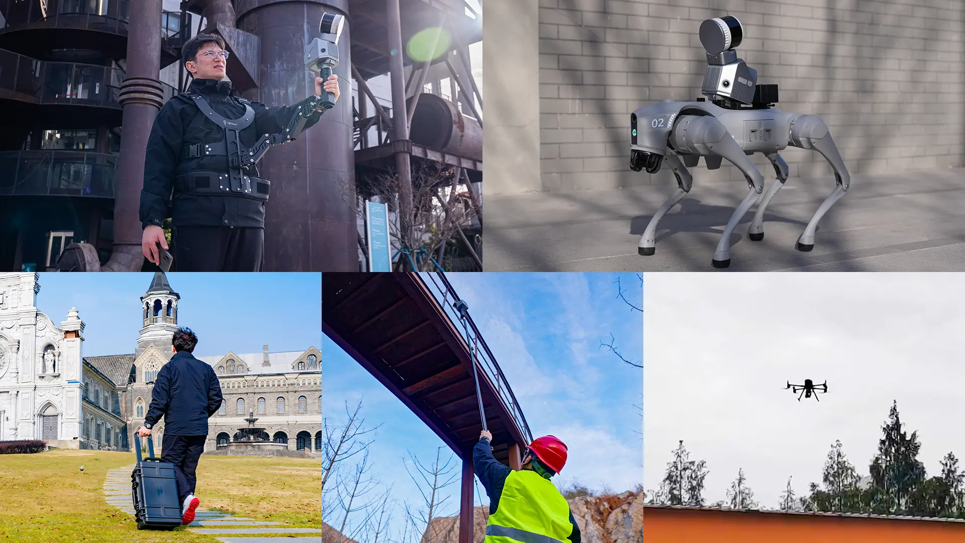
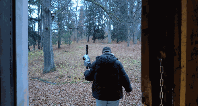
Capture terrain, structures, surfaces, stockpiles, and active work areas with the FJD Trion S2 LiDAR scanner. Create a digital record of current site conditions that can be aligned with the project coordinate system.

2. Process the Data and Prepare the Design
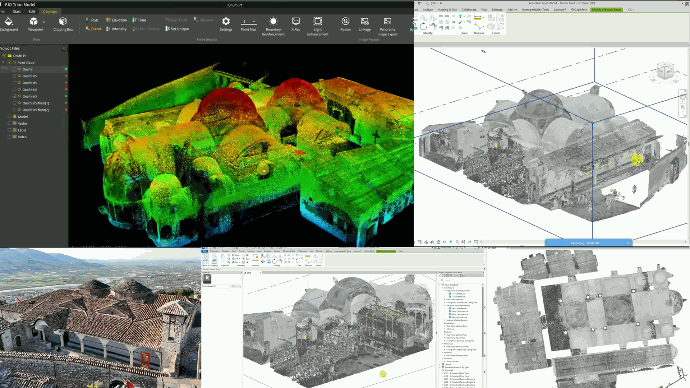
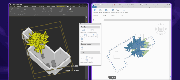
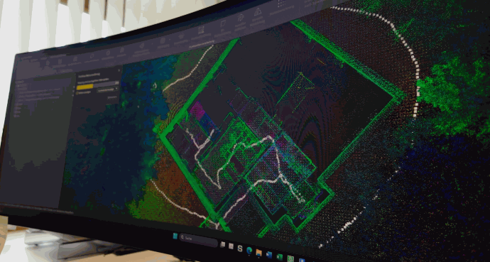
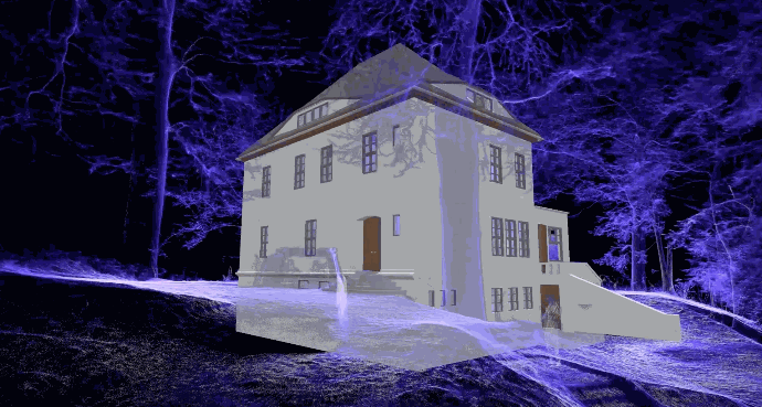
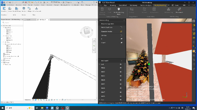
Use FJD Trion Model to process the captured point cloud, check control points and elevations, and prepare site information for planning, CAD, BIM, or downstream construction work.
3. Take the Design into the Field
Use the FJD Trion V10L GNSS receiver paired with the FJD Trion Survey software to stake out design points, lines, boundaries, pile positions, road alignments, and drainage networks.
4. Guide Earthmoving and Site Operations
Bring design information into machine operations for excavation, trenching, slope shaping, dozing, and grading. Depending on the machine and project setup, the workflow can use FJD Trion EG10 or EC100 for excavation, DC100 for dozing, or GC100 for grading guidance.
FJD Trion TerraMind connects the machine fleet with the office, allowing teams to deploy project data, monitor equipment status and progress, and keep field execution aligned with the same project information.

5. Check the As-Built Results
Recapture completed surfaces and earthworks with the FJD Trion S2 scanner, then use the processed site data to compare elevations, slopes, positions, and finished conditions with the design.
導入後
FJD Trionにより、チームは統合型の施工ワークフローを導入し、現場作業を簡素化し、導入の複雑さを軽減し、機器の互換性を向上させ、プロジェクト遂行をより迅速かつ効率的にしました。
「手頃な価格で利用できるFJD Trionのマシンガイダンスの汎用性は、建設会社にとって必要なすべてです。労働力を50%削減でき、1年以内、場合によっては単一のプロジェクト内でROIを確認できます。」
Cody DesRoches, Digital Terrain Solutions
カナダ
導入前
建設プロジェクトは従来の測量方法に依存しており、より多くの手作業による現場作業が必要で、マシンガイダンス導入のハードルが高くなり、高精度な施工がより遅く非効率になっていました。
The toolbox behind the connected construction workflow
Build the workflow around the job by choosing the tools needed to capture existing conditions, position field work, prepare project data, guide machines, and verify the result.
Capture Large and Complex Sites
FJD Trion S2
S2 captures terrain, structures, stockpiles, and active work areas as detailed 3D data. Integrated GNSS and multi-SLAM processing support georeferenced point clouds across indoor and outdoor construction environments, giving design and field teams a shared record of existing conditions.


Measure Where GNSS Alone Falls Short
FJD Trion V100F
V100F combines GNSS, LiDAR, cameras, and IMU in one field device. It gives construction surveyors another way to capture site features and geometry when direct GNSS point measurement is difficult, reducing the need to switch between separate field tools.

Turn Data into Construction Deliverables
FJD Trion Model & Model Web
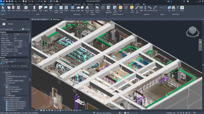
FJD Trion's Model software and Model Web platform process captured point cloud data for analysis and delivery. Teams can generate 3D models, review cross-sections, calculate volumes, and extract contours. They can also prepare data for Scan-to-CAD and Scan-to-BIM workflows that can be accessed from any device with the share of a link.
Stake Out without Touching the Target
FJD Trion V10L
V10L adds laser measurement to the GNSS stakeout, allowing crews to measure and stake out points from a distance. Camera guidance, automatic target alignment, and night vision support work around wall corners, riverbanks, underpasses, and other locations that are difficult or unsafe to reach directly.


Add Wireless Guidance to Excavators
FJD Trion EG10
EG10 uses wireless, modular guidance components to bring design elevations, lines, and slopes into the excavator cab. Operators can follow leveling, trenching, drainage, and slope work with visual guidance, while the modules can be transferred between supported machines and crews.
Keep Complex Excavation Aligned with the Design
FJD Trion EC100
EC100 is a wired excavator guidance system that tracks the body, boom, arm, and bucket in real time. It supports CAD-based digging guidance, electronic boundaries, and configurations for tilt buckets, multi-part booms, dredging, and excavation in restricted working areas.


Control Dozer Blades from the 3D Design
FJD Trion DC100
DC100 uses the project design and onboard sensors to adjust the dozer blade during operation. Operators can work toward the required surface without relying on repeated manual grade checks, while office teams retain visibility into machine activity and construction progress.
Automate Grader Surface Control
FJD Trion GC100
GC100 adjusts grader blade position against the 3D design to produce repeatable surfaces. GNSS, IMU, laser, and total-station positioning options support grading across open sites, indoor or semi-enclosed areas, and locations where GNSS coverage is limited.


Connect Office Planning with Jobsite Execution
FJD Trion TerraMind
TerraMind brings project data, equipment status, remote deployment, and as-built progress into one shared environment. Teams can send projects to machines, monitor locations and operating status, review completed areas, and identify quality risks without rebuilding the same project information across separate systems.
Build the right workflow for your construction project
Tell us what you need to capture, stake out, grade, or verify. An FJD Trion specialist will review your current process and recommend the right combination of reality capture, GNSS, machine guidance, and software for your site.
Get a project-specific recommendation based on your site, machines, deliverables, and existing workflow. 無料相談またはデモが必要ですか? Talk to a construction workflow specialist
Frequently asked questions
Learn how FJD Trion reality capture, construction surveying, GNSS stakeout, machine guidance, and as-built verification fit together, and what to consider when building a connected construction workflow.
Reality capture records the existing shape and condition of a construction site as digital spatial data. The FJD Trion S2 captures terrain, structures, surfaces, and work areas as point cloud data, while FJD Trion Model
processes that data for planning, CAD, BIM, and site verification.
3D laser scanning is used to document existing conditions, measure complex spaces, record construction progress, support renovation planning, and check completed work. The FJD Trion S2 LiDAR scanner helps teams capture indoor and outdoor site conditions without measuring every feature individually.
Construction stakeout transfers design information from a drawing or digital model to physical positions on the jobsite. FJD Trion V10L and FJD Trion Survey
take points, lines, boundaries, pile positions, road alignments, and drainage networks from the office into the field.
GNSS stakeout helps a surveyor or field crew locate specific design points and features on the site. Machine guidance gives an operator continuous design-based information while excavating, dozing, or grading. The FJD Trion ecosystem connects stakeout with machine-guidance options for excavators, dozers, and graders.
Machine guidance shows the operator how the machine and working edge relate to the approved design. FJD Trion EG10 and EC100
support excavation guidance, while DC100
and GC100
support dozing and grading. This helps crews follow target elevations, slopes, and surfaces with fewer repeated checks.
As-built verification compares completed construction work with the approved design. Teams can recapture finished surfaces and earthworks with FJD Trion S2. They can then review elevations, slopes, positions, and site conditions before the next construction stage begins.
A point cloud provides a spatial record of existing site conditions that can be used as a reference for drawings and models. FJD Trion Model processes captured point cloud data for downstream スキャンからCADへ and スキャンからBIMへ
workflows, including renovation documentation, design coordination, and construction planning.
The required equipment depends on the job. A connected workflow may include LiDAR capture, point cloud processing, GNSS stakeout, machine guidance, and as-built checks. FJD Trion can configure these stages around the project rather than requiring every product on every site.
Start with the project stage, site conditions, required deliverable, accuracy or tolerance requirement, machines involved, and the step currently causing the most delay or rework. An FJD Trion specialist can then recommend the relevant capture, processing, stakeout, guidance, and verification setup for the project.