
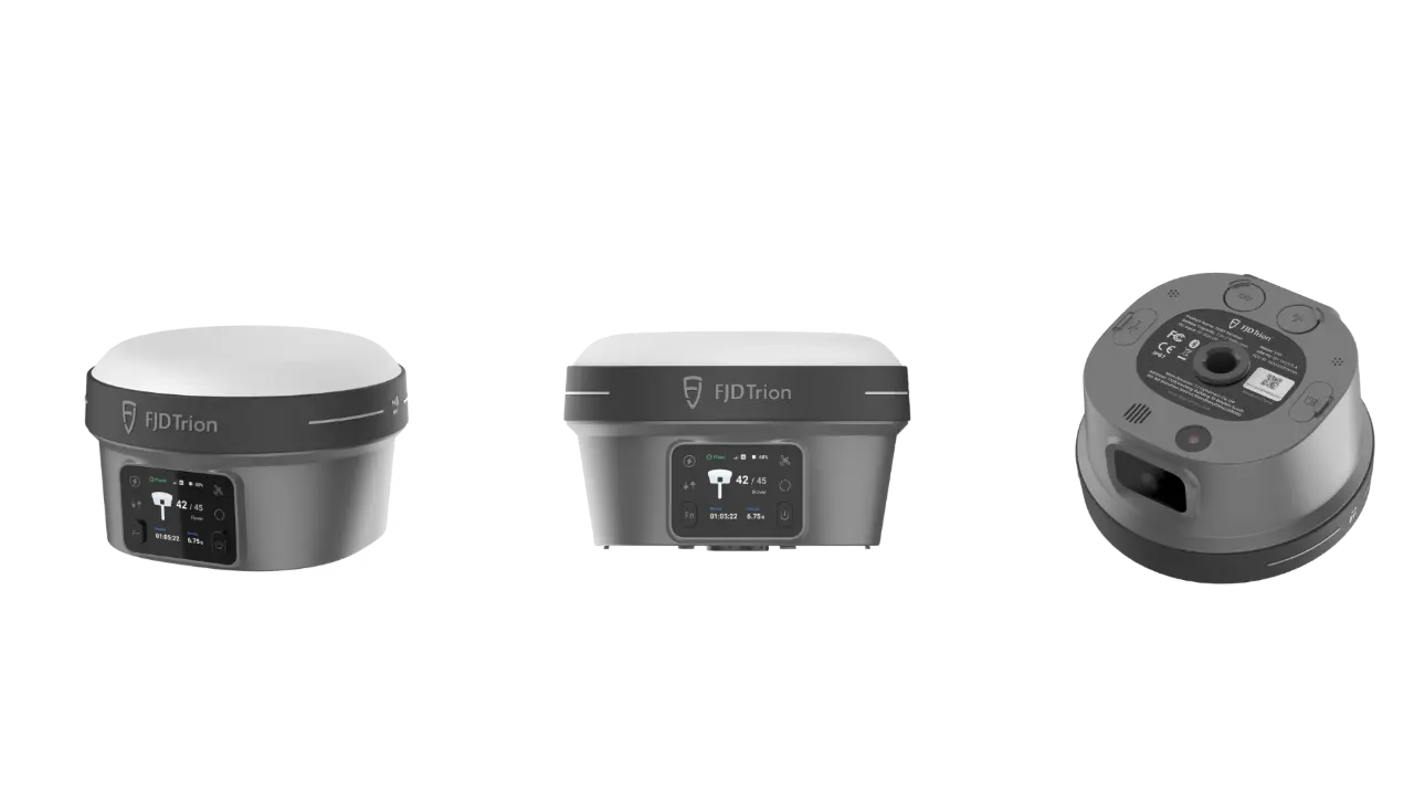
高解像度デュアルカメラ、
ビジュアル測定とAR StakeOut

最大傾斜60°、
キャリブレーション不要

H: 8 mm + 1 ppm RMS
V: 15 mm + 1 ppm RMS

2m耐落下

4G LTEとUHFを内蔵。
NFC、WiFi、Bluetooth

1408チャンネル、
全衛星対応
より多くを捉え、より少なく心配する
OLED画面、IMU、デュアルカメラを統合したV10iは、現場測量の生産性を新たなレベルへ引き上げます。
AR Stakeoutはリアルタイムの視覚ガイダンスを提供し、より迅速な杭打ちを実現します。また、Visual Measureは手の届きにくい場所の正確な測定を可能にします。
鮮明な視界、正確な測定
2MPの前面カメラと5MPの底面カメラにより、V10iは測量士に鮮明な画像を提供します。
強力な4コアプロセッサとマルチエンジンアルゴリズムにより、V10iはAR Stakeout機能で滑らかな映像を実現します。

より安全で、より効率的
AR Stakeout
AR Stakeout機能は、従来の杭打ち作業を一新します。
2つのHDカメラが、杭打ち中にリアルタイムで鮮明な映像を提供します。ポイントの位置は映像上に直接表示されます。
Visual Measure
V10iのVisual Measure機能により、アクセスが難しい場所での測定にも活用できます。
少なくとも5枚の高解像度写真を撮影した後、マルチエンジンアルゴリズムを使用して写真内の座標を簡単に取得できます。
高効率を実現する傾斜測量
60度の傾斜測量に対応し、V10iは傾いた位置を自動補正して高精度な結果を提供するため、測定時に測量ポールを垂直に保つ必要がありません。
実環境に耐える堅牢設計
V10iは日常的な屋外作業向けに設計されており、雨天、乱雑な取り扱い、長時間の現場作業にも対応し、測定作業を妨げません。
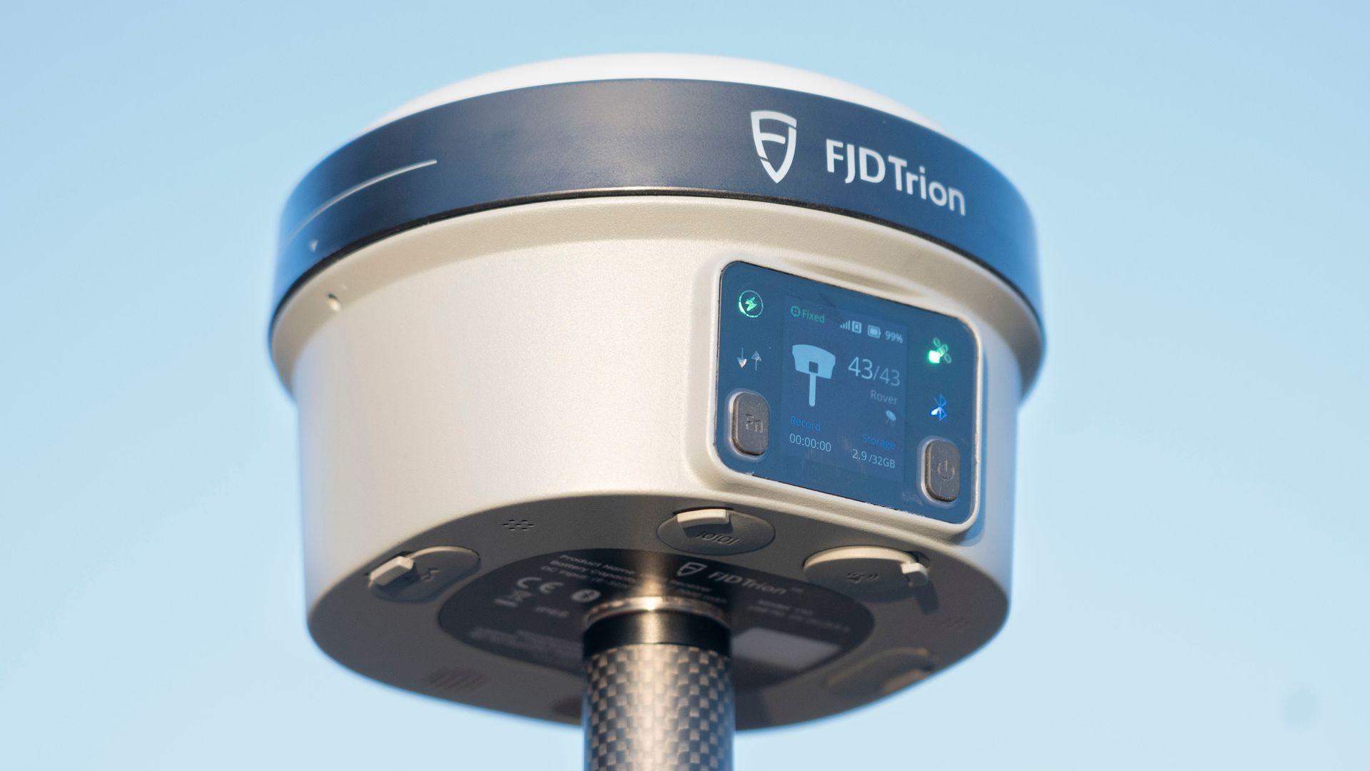
デバイス上で明確なステータス確認
内蔵OLED画面で、明るい日差しの下でもデバイスの状態を確認できます。
ボタンで作業モードを切り替え、音声フィードバックにより作業中もシステム状態を把握できます。
外出先でも指先で簡単操作
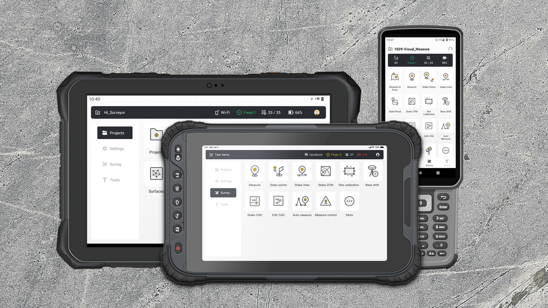
V10iは、コンパクトなキーボードコントローラーまたはタブレットコントローラーのいずれでも使用できます。
搭載Trion Surveyアプリにより、シンプルなスワイプとクリックで、指先ひとつで非接触操作を行えます。
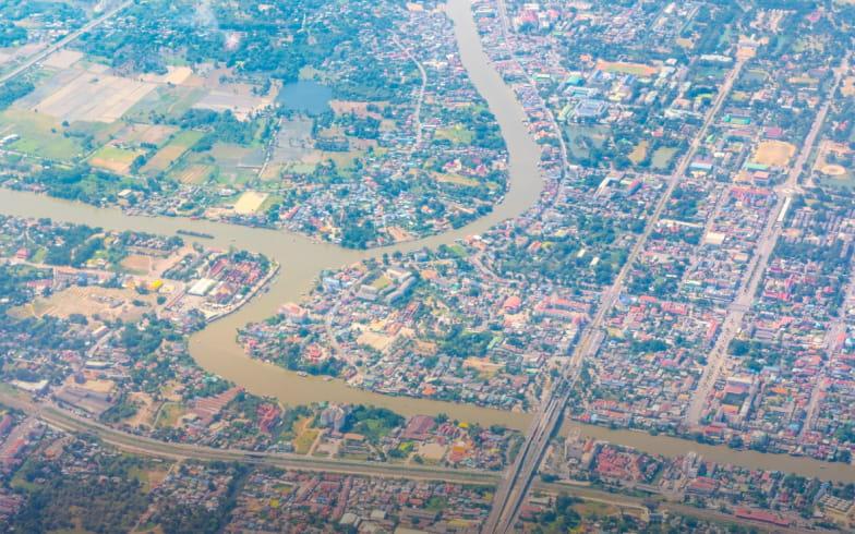
どこでも正確な作業をサポート
地籍測量

建設測量
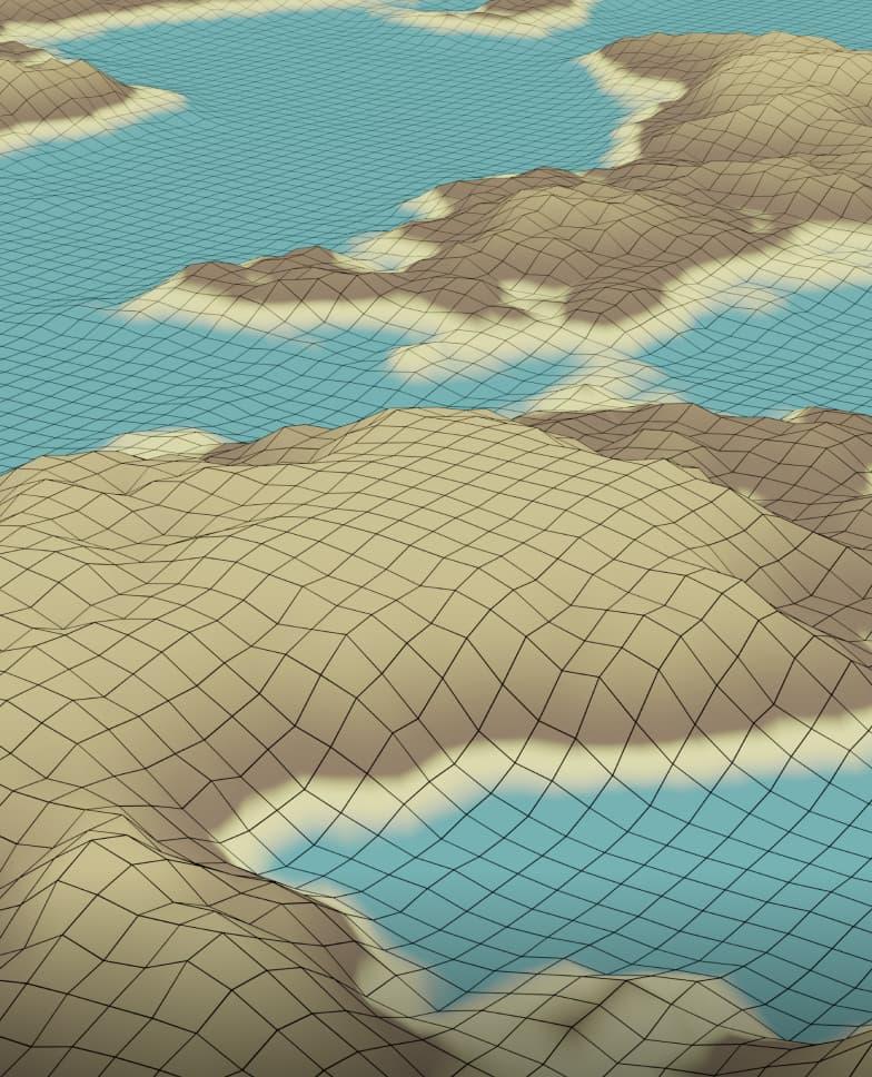
地形測量
河川・海岸線測量

橋梁・道路 測量
公共インフラ 測量
FJD Trionプランを作成
当社のソリューションは、建設、林業、鉱業、点検、マッピング、公共安全など、さまざまな現場ベースのワークフローをサポートします。製品の組み合わせは、現在のチームの作業方法と、どこで時間やコストが失われているかによって決まります。
プロジェクトの種類、現在のワークフロー、主な課題を共有いただければ、当社の専門家がお客様のチームに合わせたFJD Trionソリューション をご提案します。 無料相談またはデモをご希望ですか? お問い合わせ
FJD Trion V10i 仕様
GNSS
L1, L2,L3
* サポートするにはファームウェアのアップグレードが必要です。
通信 & データストレージ
TDD-LTE、FDD-LTE、WCDMA、EDGE、GPRS、GSM
USB Type-Cポート
UHFアンテナポート
送信出力: 2W
プロトコル: TRIMTALK、TRIMMARK III、TT450S、
TRANSEOT、Satel 3AS 4FSK
リンクレート: 9,600 bps ~ 19,200 bps
通信距離: 通常6~12 km、オプション条件で最大16km
入力: RTCM2.X, CMR
カメラ
最大 撮影時間: 約30MBの画像グループサイズで30秒
大判センサー (3μm*3μm)
低照度レベルでもフルカラーを維持
測位
V: 15 mm + 1 ppm RMS
初期化時間: < 5 s
初期化信頼性: >99.9%
V: 5 mm + 0.5 ppm RMS
V: 3.5 mm + 0.4 ppm RMS
V: 5 mm + 1 ppm RMS
ホットスタート: < 5s
信号再捕捉: < 1 s
ハードウェア
保管時: -40℃~70℃
浸水から保護
7000 mAh、7.4 V
30 WPD急速充電
スタティック: > 25時間
注:バッテリー寿命は、動作環境、動作温度、および動作モードによって異なります。通常の動作条件下では標準的な寿命があります。
