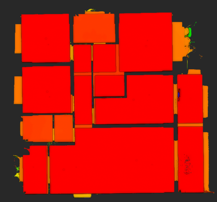
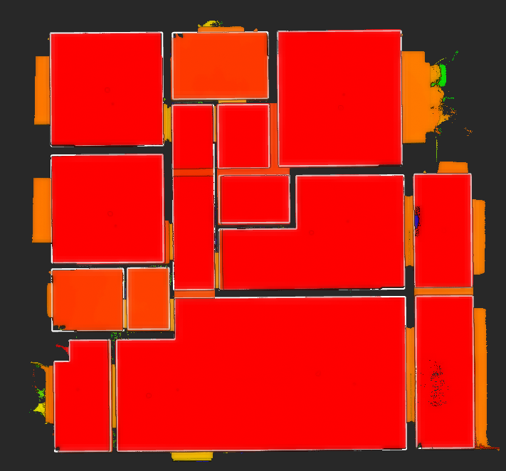
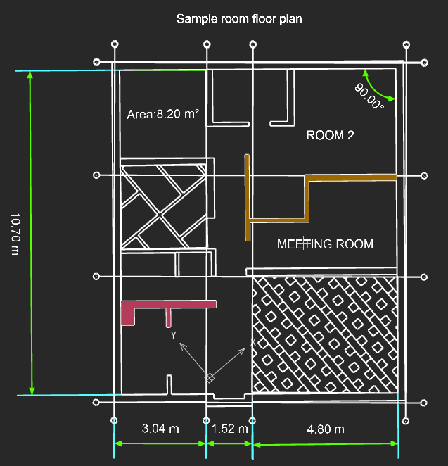
Adds one-click floor plan extraction for indoor scenes within 200 m².
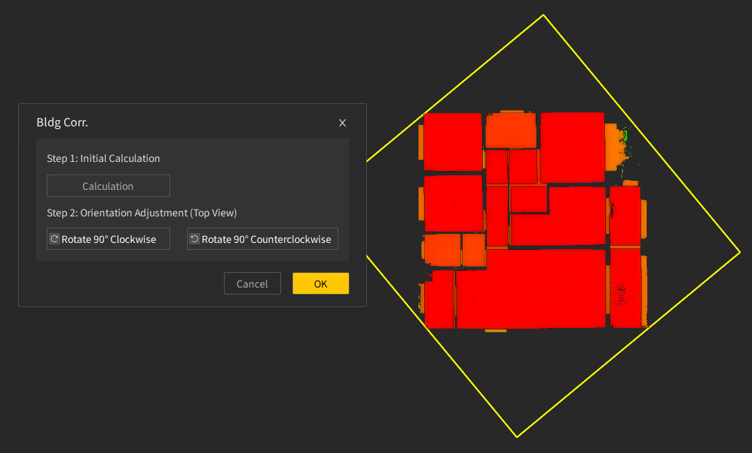
2. Building Correction
Adds building correction to align scanned building point clouds based on their geometric features.
3. Element Drawing and Editing
Adds drawing tools for annotations, input-based drawing, and segmented undo for polylines.
Adds an explode function to break blocks, polylines, and other objects into individual elements.
Enables solid fills and hatch fills for drawing elements.
4. Dimension and Property Annotation
Adds aligned and linear dimensions for annotating element lengths.
Adds arc length, radius, and diameter measurements for annotating element properties.
Adds text and leader annotations for adding notes to drawing elements.
5. Drawing Assistance and Efficiency Tools
Adds self-snapping to capture the current element during drawing.
Provides grid axis settings for defining and adding grid axes.
Adds coordinate system settings for custom coordinate systems.
Adds block element support for defining and inserting blocks.
Adds shortcuts for image drawing and editing to improve drafting efficiency.
6. Personalization Settings
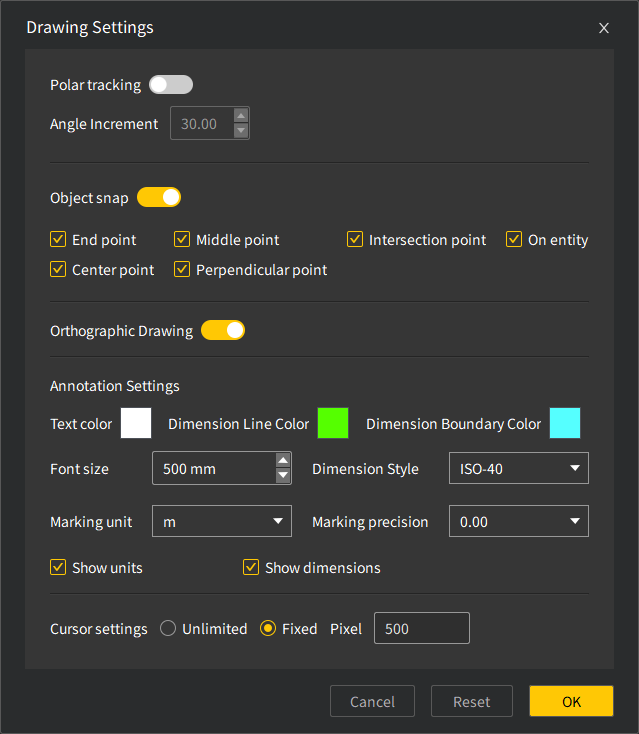
Adds mouse settings and annotation settings for customizing cursor display and annotation styles.
II.Volume Calculation Upgrade
1. Projection Reference Plane Settings
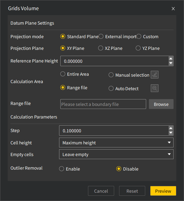
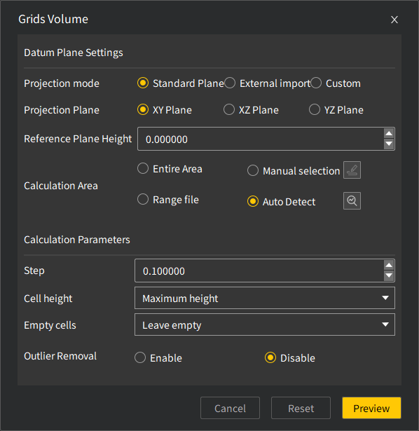
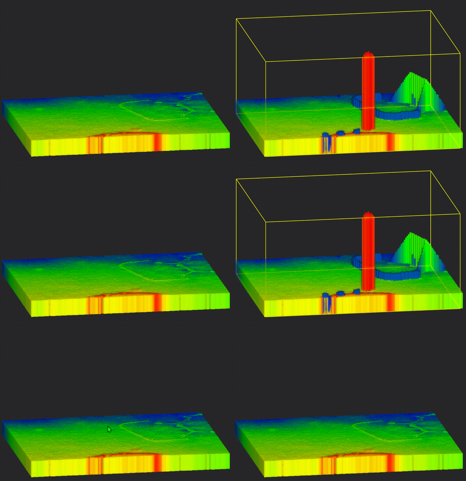
Adds standard projection plane settings for XY, XZ, and YZ planes.
Enables imported *.ply, *.obj, and *.xml model files to be used as reference planes for volume calculation.
Adds custom projection plane setup based on selected points.
2. Calculation Area Selection
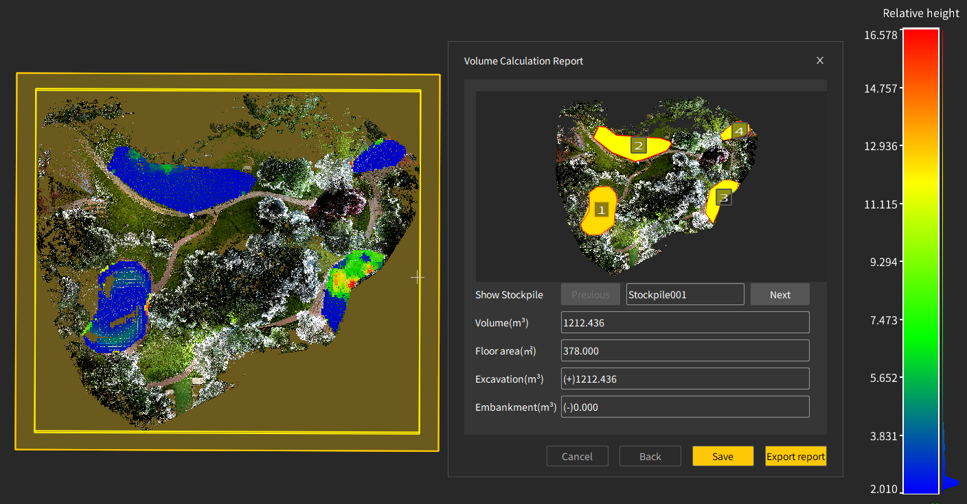
Supports volume calculation for the entire selected range.
Allows users to select a specific area within the range for volume calculation.
Supports boundary-based area selection for volume calculation.
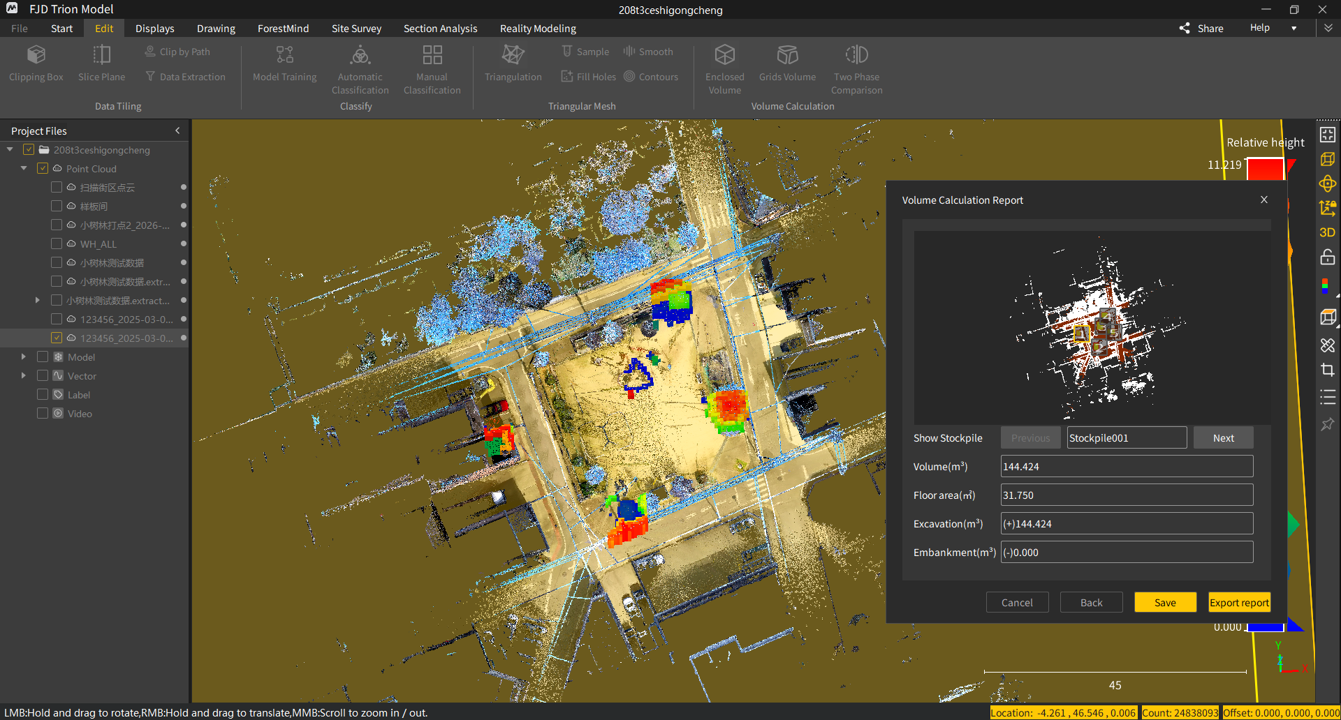
Adds automatic pile boundary detection for volume calculation.
3. Abnormal Height Filtering
Adds abnormal height filtering to remove operators, grass, trees, and other height outliers from volume calculations.
III.Point Cloud and Data Processing
1. Boundary Cropping
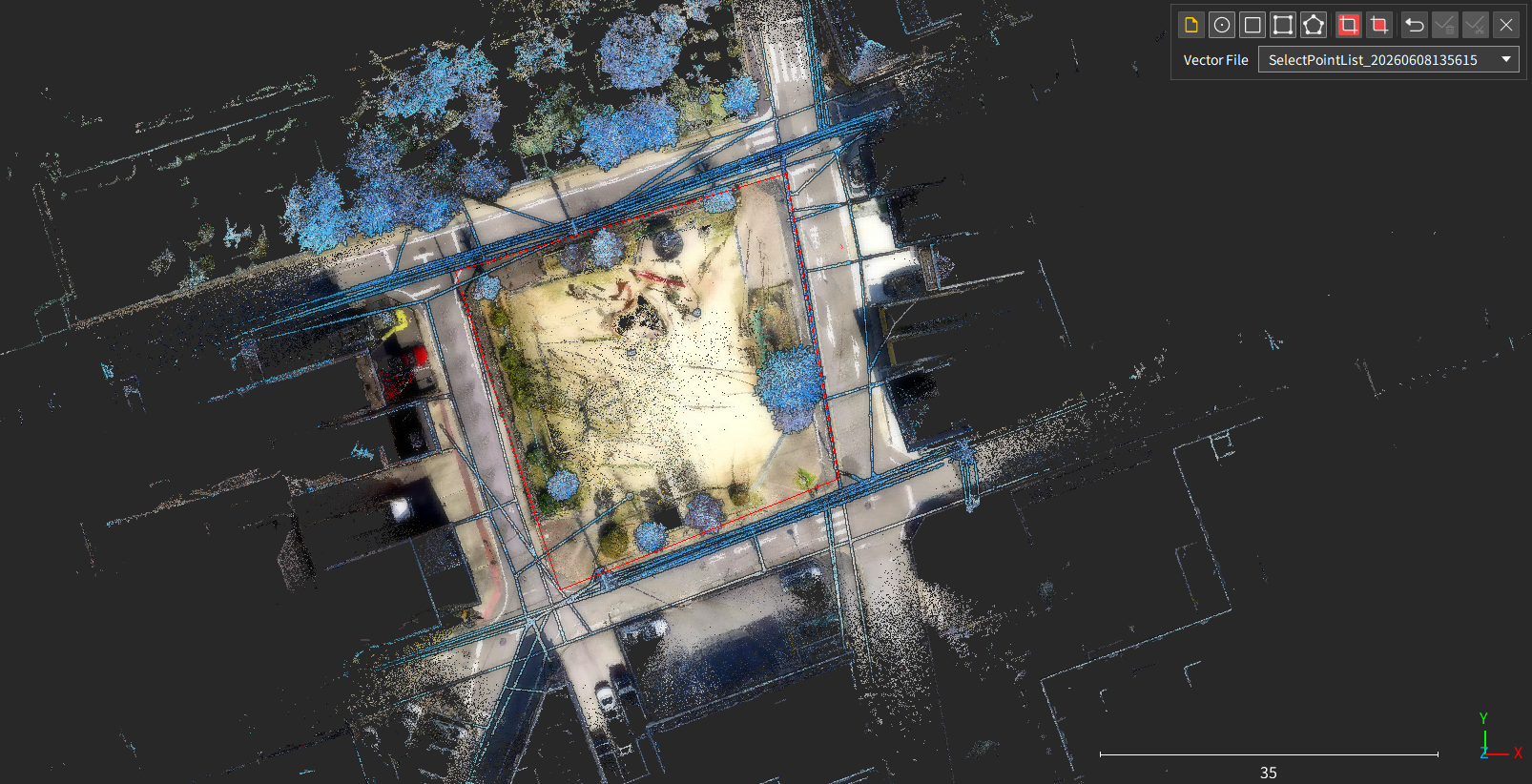
Adds boundary cropping to cut point cloud data using vector boundaries.
2. Contours
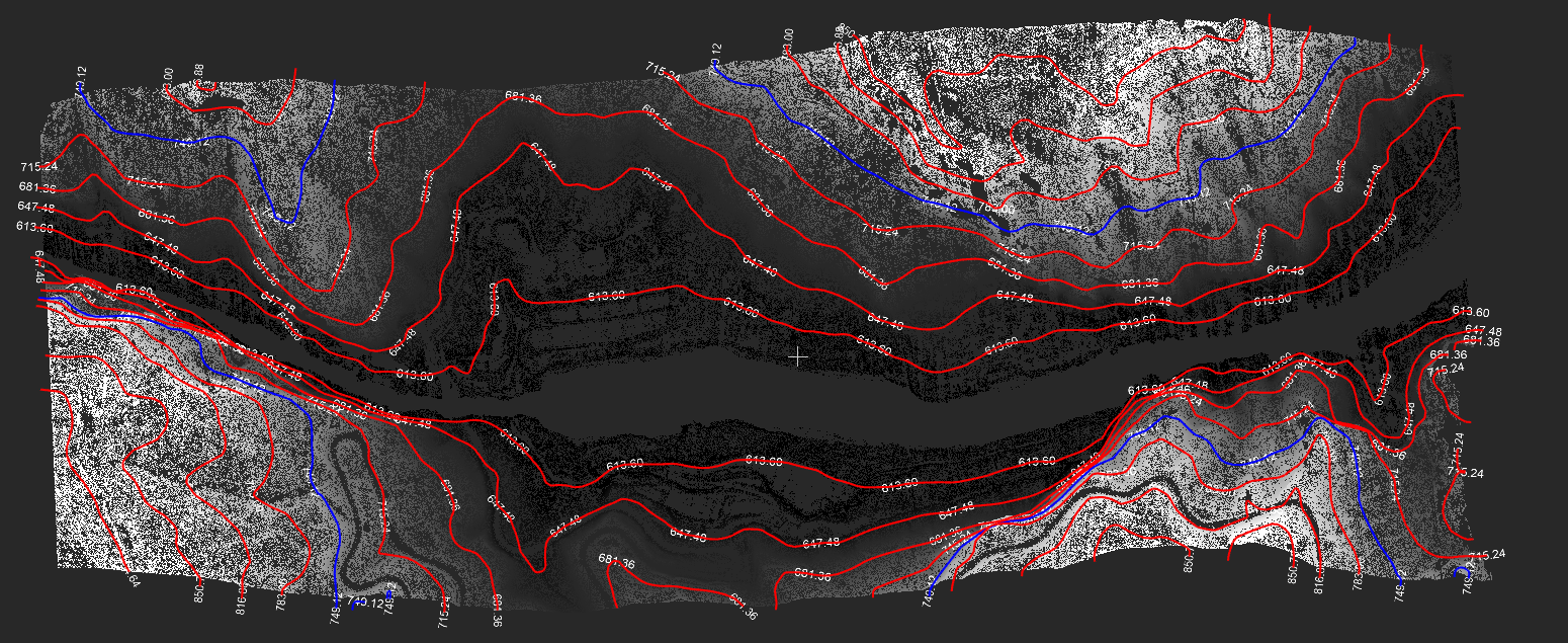
Adds contour annotation settings with multiple annotation methods.
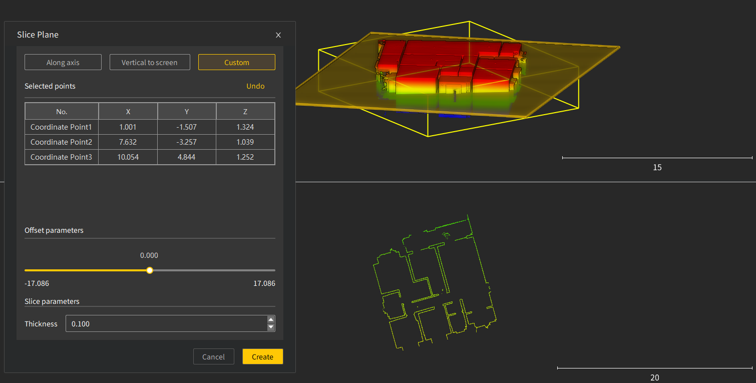
3. Plane Cutting
Adds custom three-point setup for defining plane cuts by selecting points.
4. RCP/RCS Format Support
Adds RCP and RCS format support, allowing LAS files to be converted for direct import into Autodesk ReCap and Revit.
IV.Forestry Core Features
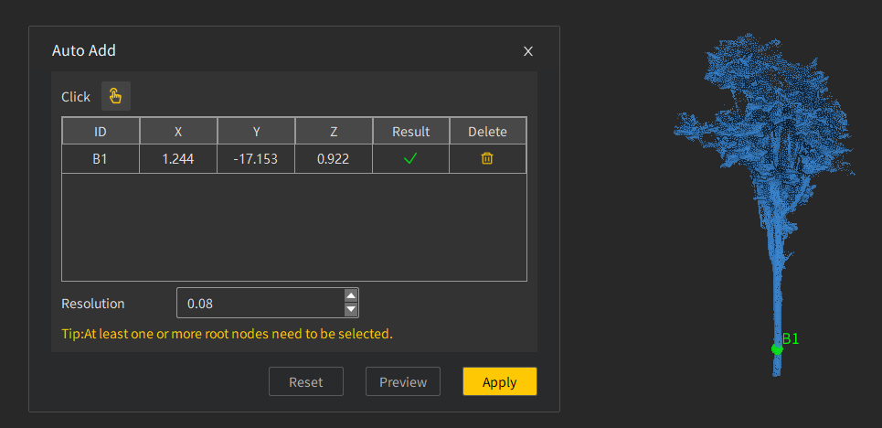
1. Adding Individual Trees by Seed Point
Enables users to quickly add individual trees that were not automatically segmented.
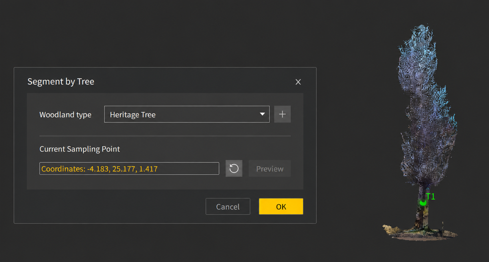
2. Heritage Tree Extraction
Enables complete extraction of complex individual trees by selecting trunk points.
V.Enhancements
1. Point Cloud and Data Processing
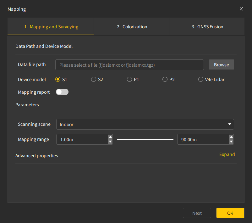
Improves the point cloud mapping interface layout.
2. Modeling and Mesh Quality
Improves triangular mesh generation efficiency and output quality.
Adds computing power detection and optimizes 3DGS (3D Gaussian Splatting) real-scene modeling quality across multiple scenarios.
3. Algorithm Efficiency
Improves basic point cloud processing efficiency, including normal calculation, supersampling, point cloud registration, density calculation, outlier removal, model training, and ray enhancement.
Uses LAZ as the default point cloud reconstruction format to improve processing efficiency and reduce storage usage.
Improves calculation efficiency for ground point extraction and individual tree segmentation.
Adds support for optimized mapping using V4e LiDAR base control points.
Adds support for colorization and image export for V4e LiDAR data collected on Android.
4. Interaction and Measurement
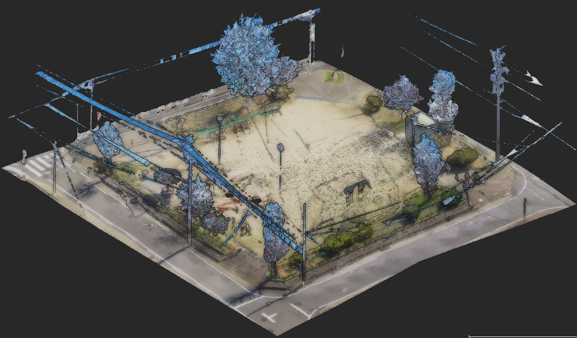
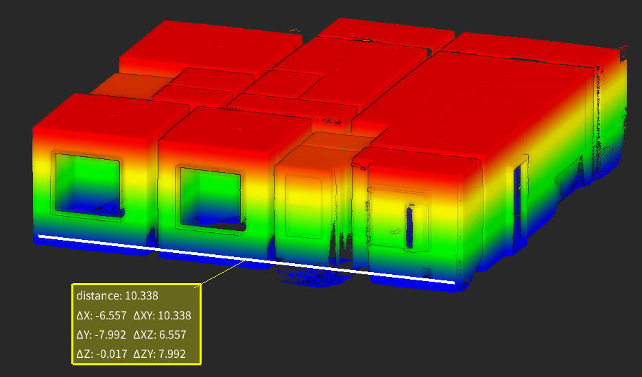
Enhances distance measurement by displaying measurement components in different directions.
5. System Compatibility and Language
Supports online manual updates.
Improves software interface adaptation across different computer display resolutions.
Our team will message you back as soon as possible.
In the meantime we invite you to visit ourwebsite.
×
Create your FJD Trion plan
Our solutions support different field based workflows across construction, forestry, mining, inspection, mapping, public safety, and more. The product combination depends on how your team works today and where time or money is being lost.
If you share your project type, current workflow, and main challenge, our experts can provide you with an FJD Trion solution tailored for your team. Need a free consultation or demo? Contact Us
Create your FJD Trion plan
Our solutions support different field based workflows across construction, forestry, mining, inspection, mapping, public safety, and more. The product combination depends on how your team works today and where time or money is being lost.
If you share your project type, current workflow, and main challenge, our experts can provide you with an FJD Trion solution tailored for your team. Need a free consultation or demo? Contact Us