Meet FJD Trion at CSPI 2026
Join us at CSPI 2026 and explore integrated solutions for LiDAR scanning, GNSS positioning, and digital construction. From capturing real-world environments to delivering accurate positioning and smarter jobsite execution, FJD Trion helps professionals transform field data into workflow-ready results for surveying, mapping, construction, infrastructure, forestry, mining, power inspection, indoor mapping, and robotics deployment.
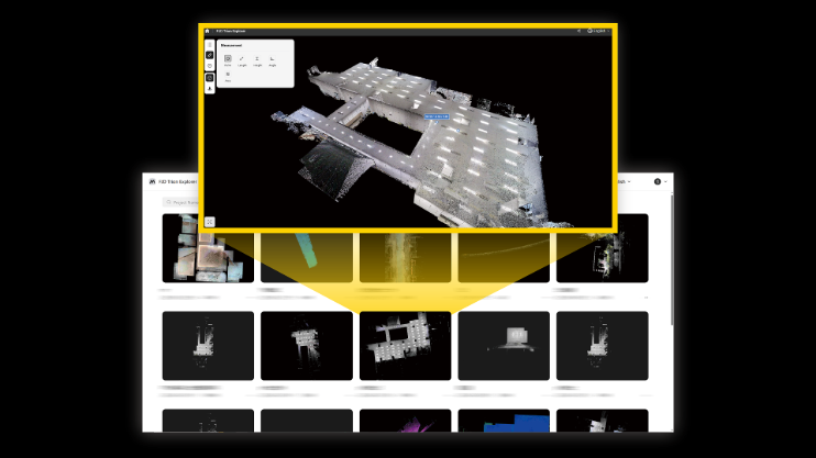
Capture Real-World Environments as Workflow-Ready 3D Data.

FJD Trion SLAM LiDAR scanners help you capture indoor, outdoor, underground, and hard-to-reach environments quickly and flexibly. At CSPI 2026, we will showcase V4e LiDAR, FJD Trion P2, S2 Pro, and S2 MAX, along with backpack, shock-absorbing vest, thermal image module, vehicle mount, drone mount, telescopic pole, robot dog mount, and humanoid robot accessories.
Beyond hardware, FJD Trion SLAM LiDAR solutions support a wide range of workflows, including SiteMind for construction documentation, progress tracking, Scan-to-CAD, Scan-to-BIM, and onsite construction; ForestMind for forest analysis and vegetation data; MineMind for tunnels, stockpiles, slopes, and challenging environments; PowerMind for power asset inspection and thermal/vegetation risk analysis; ForensicMind for structured digital evidence capture; GolfMind for golf course planning and maintenance; and Robotics Deployment for creating accurate 3D spatial references for robot mapping and deployment.
Position with Accuracy. Work with Confidence.

FJD Trion GNSS solutions provide high-precision positioning for surveying, mapping, layout, field data collection, and geospatial workflows. At CSPI 2026, FJD Trion will showcase V10a, V10i, V10F, and V4e Pro, helping field teams collect reliable positioning data and connect it with downstream digital workflows.
FJD Trion GNSS products support workflows such as topographic surveying, construction layout, stakeout, elevation checks, infrastructure and asset mapping, utility documentation, and LiDAR georeferencing. By connecting accurate positioning with field capture and construction workflows, FJD Trion helps teams improve data reliability, reduce manual effort, and create more usable outputs for surveying, mapping, and construction projects.
Move from Digital Data to Smarter Jobsite Execution.

FJD Trion digital construction solutions help construction teams turn accurate field data into practical jobsite execution. At CSPI 2026, FJD Trion will showcase EG10 and SG10, supporting smarter guidance, better productivity, and more efficient construction workflows.
FJD Trion digital construction solutions connect accurate site data with real-world construction execution, enabling smarter machine guidance and more efficient earthmoving operations. From surveying and site preparation to excavation, grading, and leveling, FJD Trion helps contractors improve productivity, reduce rework, and accelerate digital jobsite transformation.
Visit FJD Trion at CSPI 2026 to experience a complete solution portfolio built for construction, surveying, mapping, infrastructure, and digital jobsite workflows.