Traditional Methods Are Holding You Back

Weeks Lost in Manual Chaos
Spending weeks juggling measurements, CAD drafts, and on-site revisions, which slows design decisions and keeps projects waiting at every step.
Risk You Can’t Afford
Traditional tools struggle in tight or complex spaces. The result? Mistakes, drawing conflicts, and expensive rework.
Teams Stretched to the Limit
Relying on multiple team members, repeated site visits, and costly software inflates budgets and limits the ability to take on more projects efficiently.
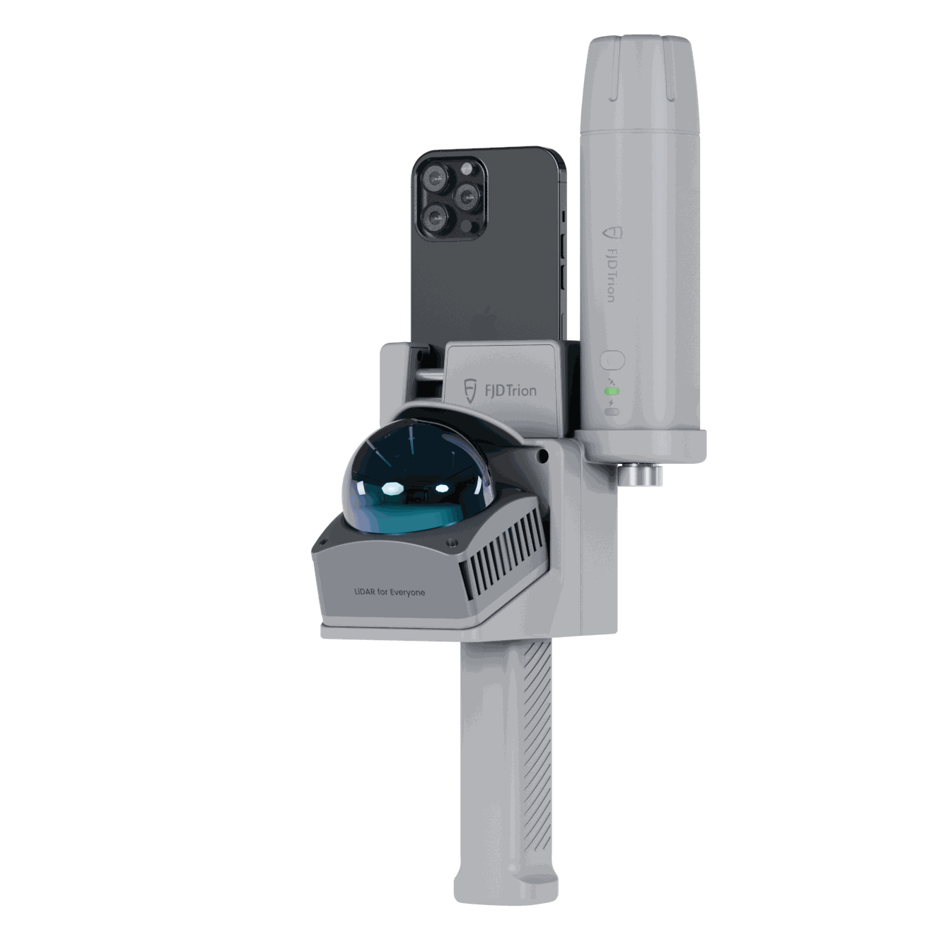
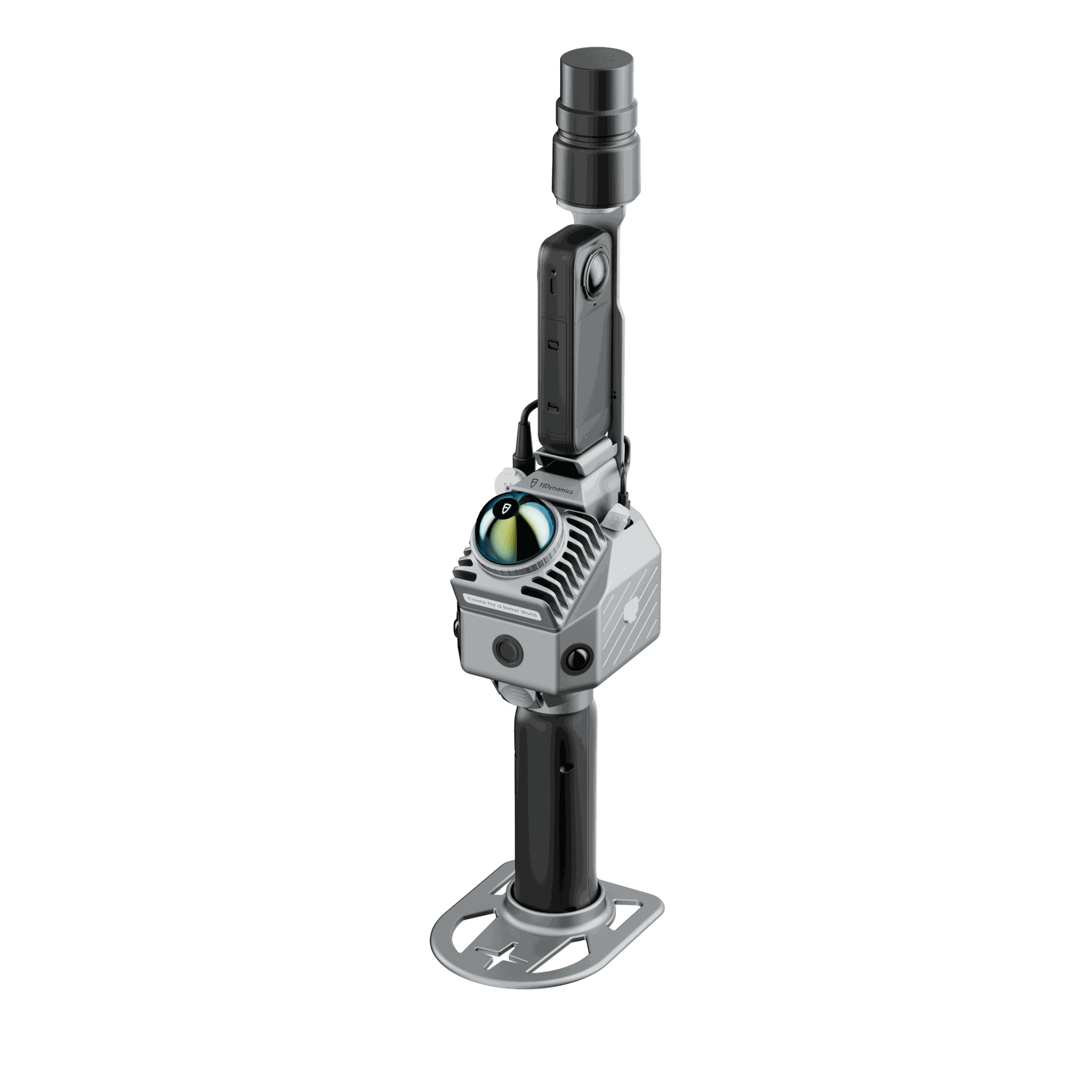
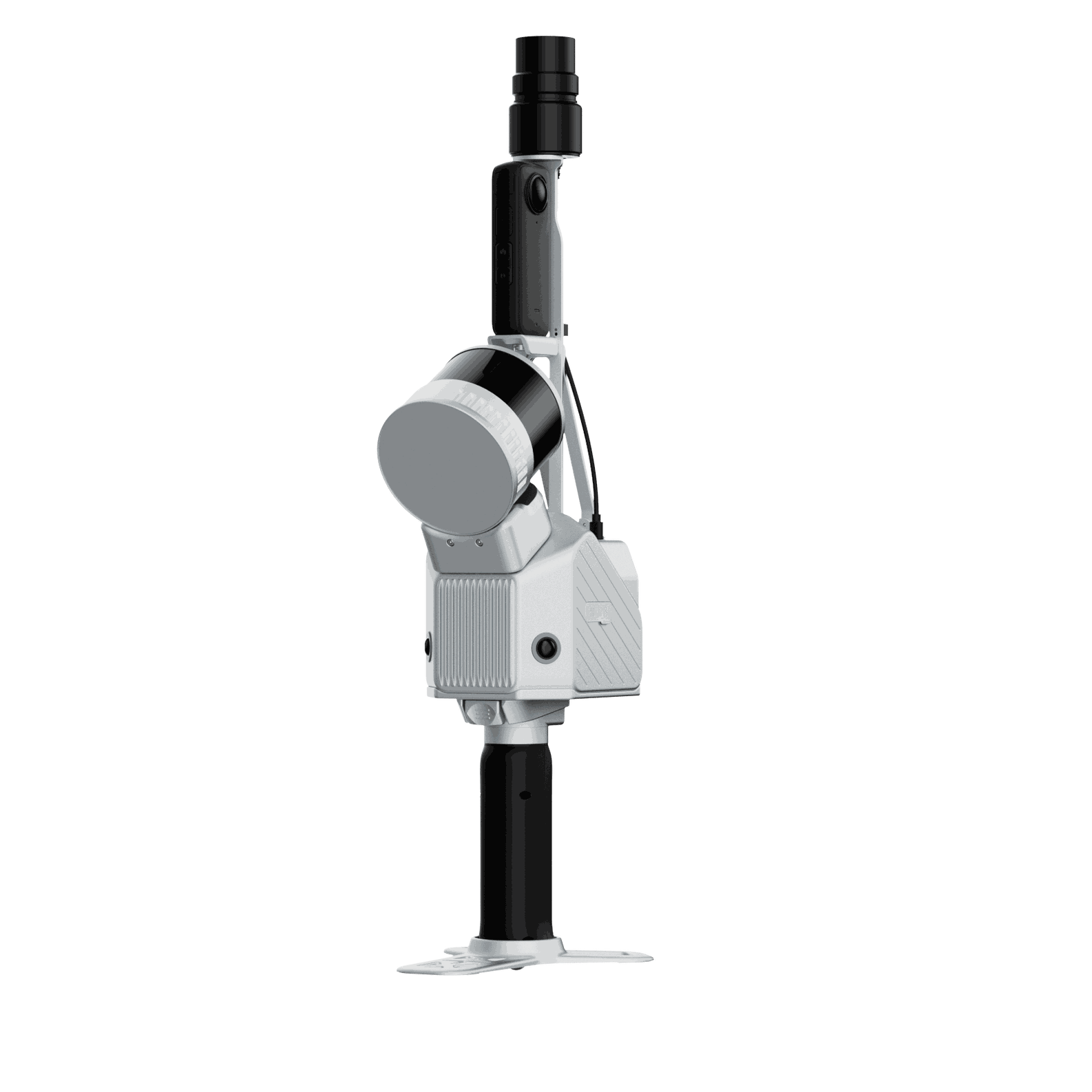
Why Choose FJD Trion?
A fully integrated hardware-software ecosystem that turns real-world scans into production-ready CAD drawings.
Faster, smarter, and with unmatched precision.
Why Choose FJD Trion?
A fully integrated hardware-software ecosystem that turns real-world scans into production-ready CAD drawings.
Faster, smarter, and with unmatched precision.


10×
Faster Field Measurement
+200%
Processing Efficiency
75%
Time Saved
40%
Rework Reduction
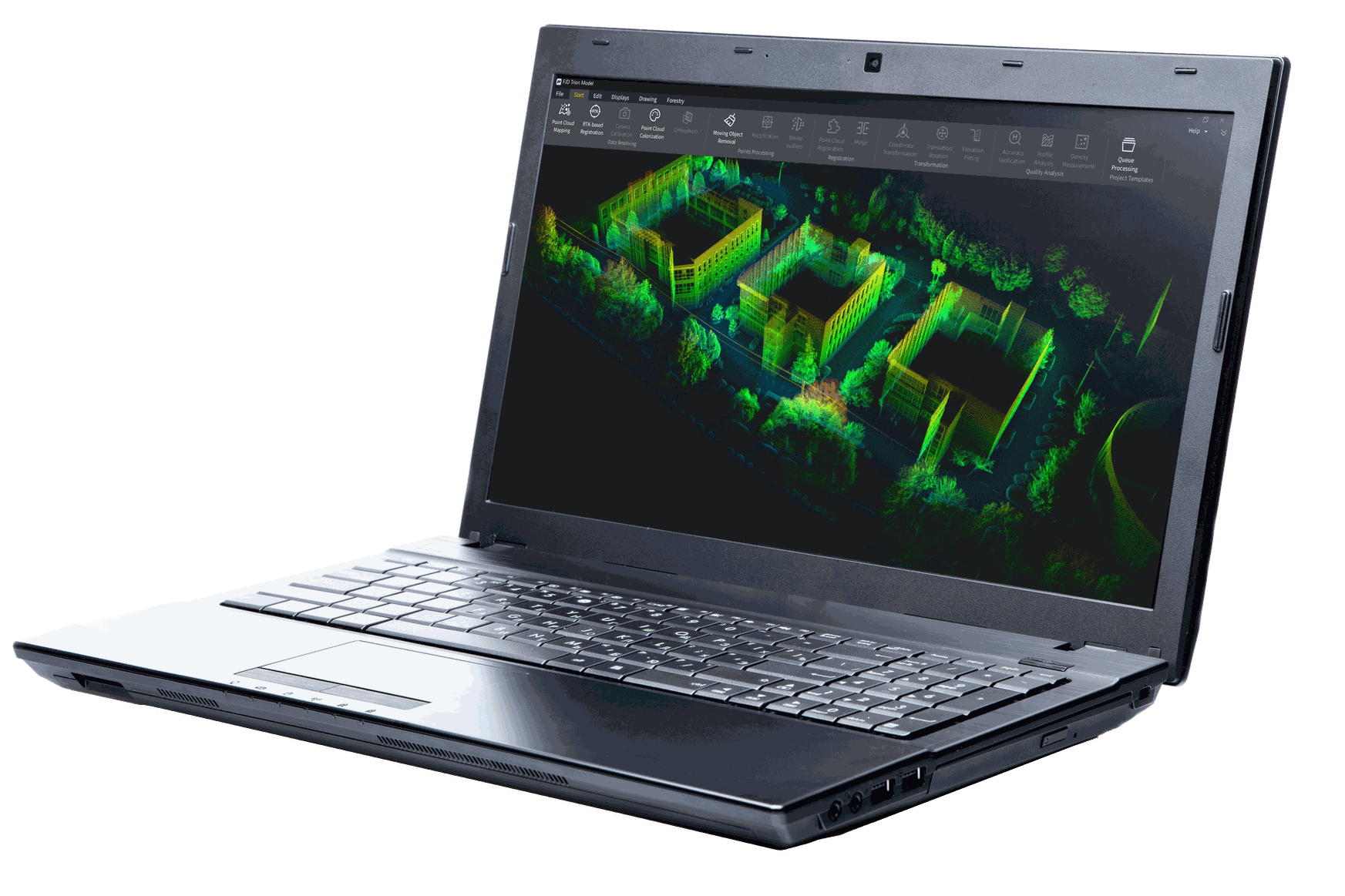
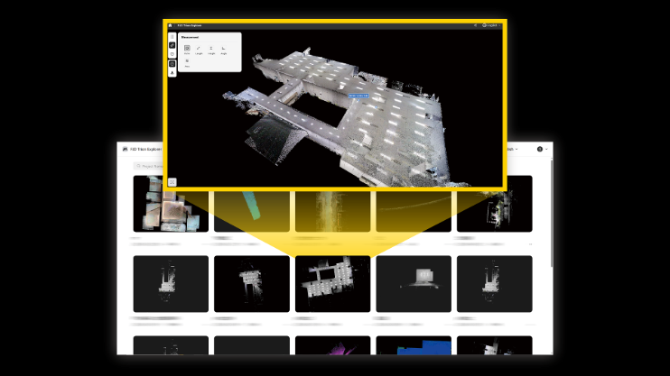
How it works

1. Capture Reality
Capture indoor and outdoor environments instantly, generating millions of point clouds within minutes with real-time preview and quality inspection.

2. Process, Optimize & Verify
Turn raw scans into CAD-ready 3D models and verify elevations and alignments against control coordinates with minimal manual effort.

3. Generate CAD Drawings
Slice horizontal and vertical sections directly from your 3D model. Extract walls, doors, windows, and contours, and export standard-compliant DWG/DXF files.
4. Deliver & Archive
Export editable CAD files, walkthrough videos, and full digital archives for renovation, compliance, or lifecycle management.

After
Using FJD Trion S2, the large-scale municipal topographic survey was completed in just 4 days with 4 cm average accuracy, with direct CAD creation and permanent archiving of point clouds, videos, and 2D drawings, enabling full lifecycle traceability and compliance.
“Using FJD's self-developed point cloud software, we can create CAD drawings directly. What once took 2 weeks for design and surveying now takes just 2 days for full-building mapping.”
Control Survey, Regional Energy Service Provider
Romania
Before
Traditional methods struggled with irregular structures, building damages, and complex municipal assets. Data inconsistencies increased the risk of design errors, construction delays, and compliance issues. Surveying large areas could take weeks of manual work.