Traditional Methods Are Holding You Back

Long Lead Times
Manual measurement, sketch consolidation, and repeated cross-checking slow projects down before modeling even begins.
Error-Driven Rework
Small measurement issues can turn into design errors, rework, and costly delays once the project moves forward.
Siloed Collaboration
When point clouds, CAD files, and BIM models live in separate systems, handoffs become slower and more error-prone.
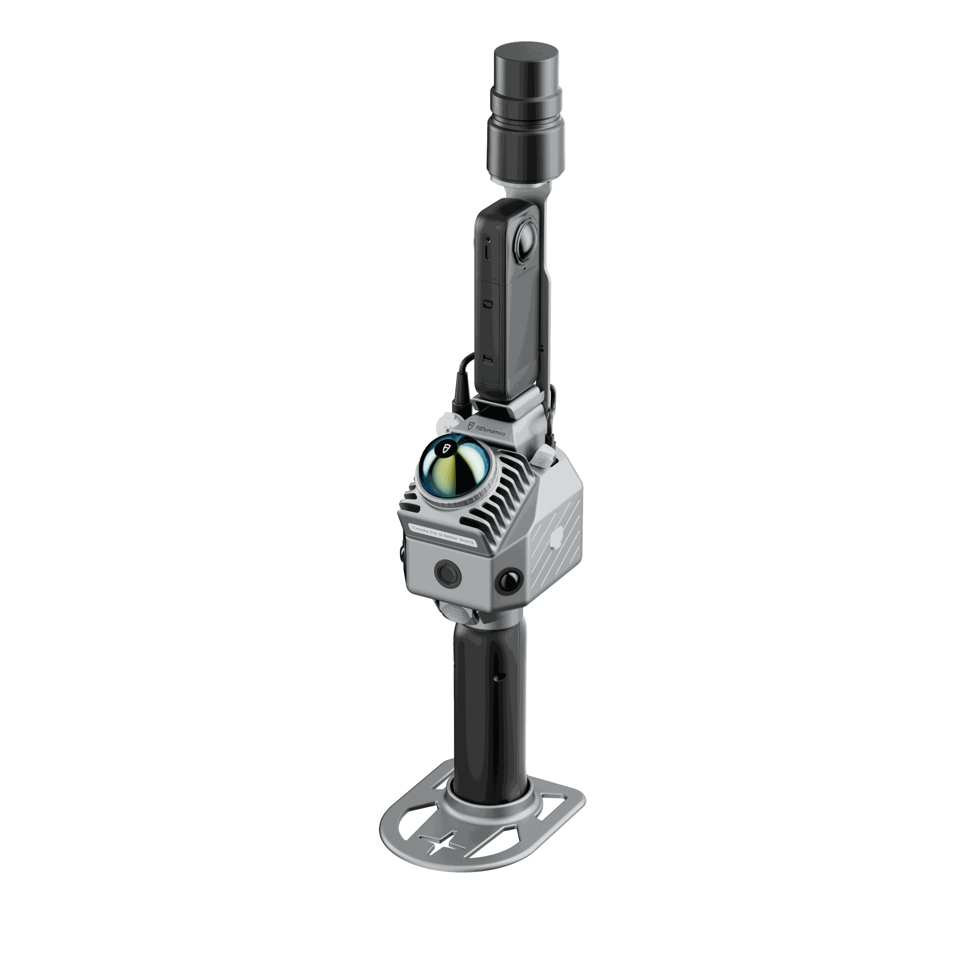
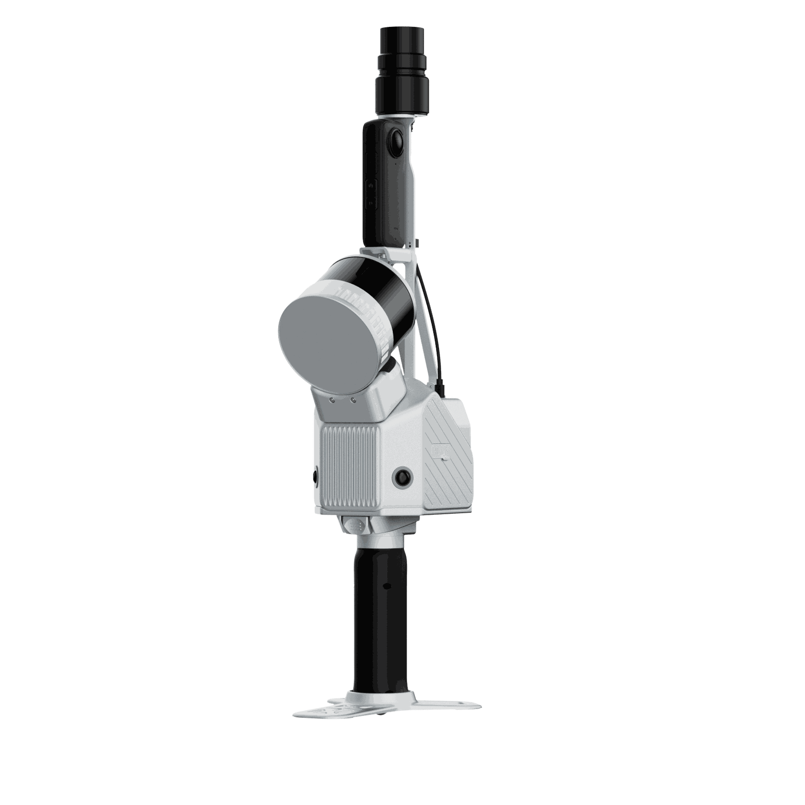
Why Choose FJD Trion?
From fast-deploy entry-level capture to professional large-site workflows, FJD Trion connects scanning, point cloud processing, and BIM delivery in one streamlined solution.
Why Choose FJD Trion?
From fast-deploy entry-level capture to professional large-site workflows, FJD Trion connects scanning, point cloud processing, and BIM delivery in one streamlined solution


8-10×
Faster Field Capture
70%
Shorter Cycles
50%
Fewer Steps
>60%
Lower Cost
How it works

1. Capture Reality
Scan the site with FJD Trion and verify quality on site with one-tap control, real-time visualization, and live coverage checks.

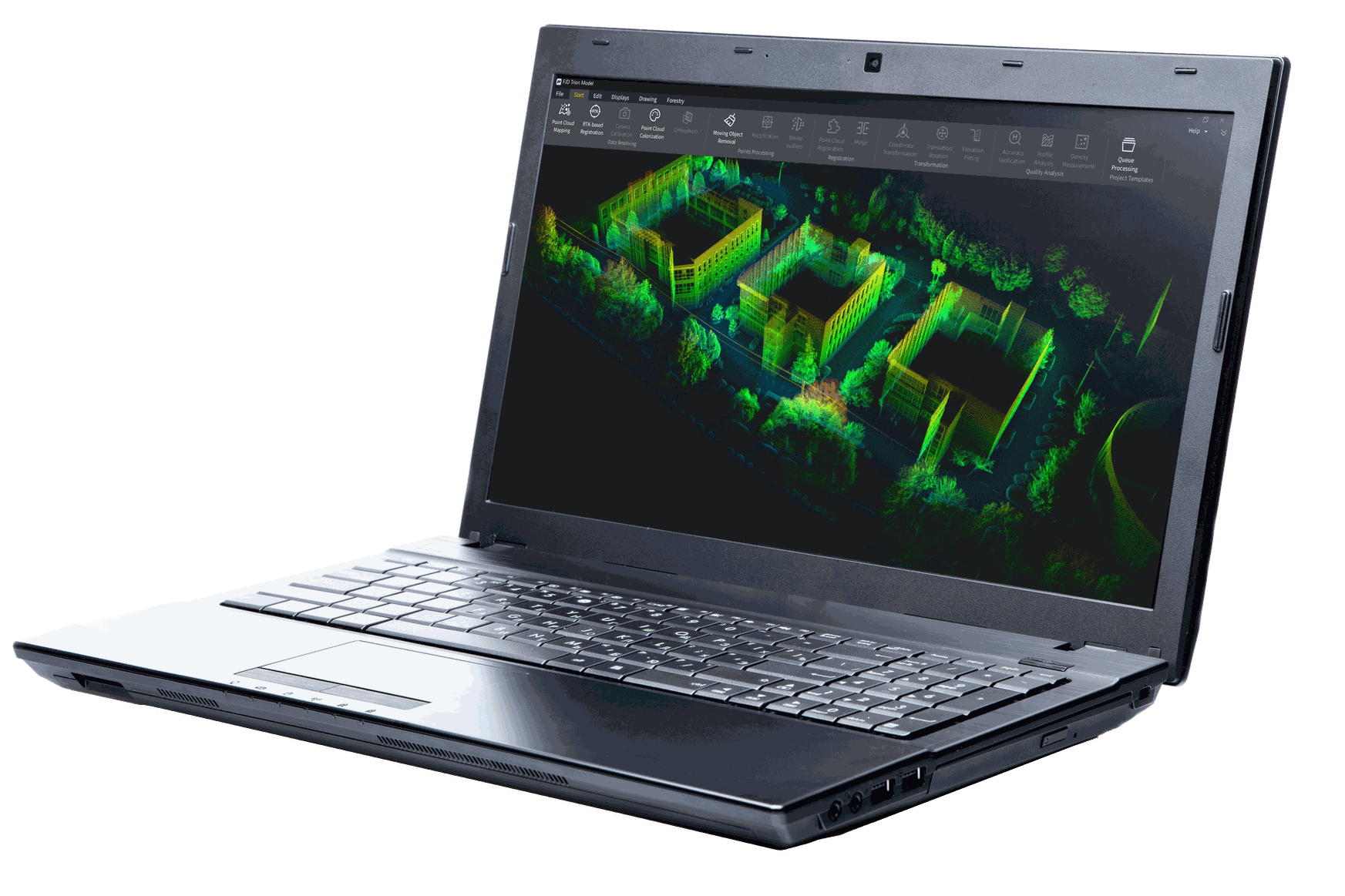
2. Upload Point Clouds
Bring raw scan data into FJD Trion Model to create measurable, shareable, and project-ready point cloud outputs.

3. Model in Revit
Assign elevations and object types, generate BIM-ready plans, and create building elements faster with Revit-friendly workflows.
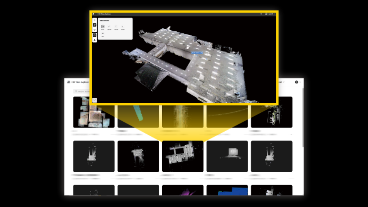
4. Review and Deliver
Validate the result in 3D and deliver the outputs needed for design, construction, and long-term operations.

Revit Plug-in
Bring scan-to-BIM into one connected workflow with the new Revit Plug-in. Sync FJD Trion Model and Revit in real time, start modeling faster, and skip the usual exporting, converting, and reloading.
After
With FJD Trion, the team adapted to complex conditions, scanned each level in 5 to 10 minutes, and achieved centimeter-level BIM output, enabling stronger alignment between real-world conditions and the digital model.
“FJD Trion helped us move through a dense and complex plant environment with much greater confidence. We were able to scan each level in minutes and produce BIM output that aligned far more closely with real site conditions.”
Project Team, Water Treatment Plant
Hong Kong
Before
In a dense water treatment facility, traditional surveying meant slower capture, more manual coordination, and a higher risk of missed details, making project execution less efficient and increasing the chance of costly rework.