Traditional Methods Are Holding You Back
Heavy Fieldwork Burden
Manual tools and multi-person fieldwork require surveyors to inspect trees one by one, slowing operations and demanding significant time and coordination, even in small areas.
Limited Confidence in Results
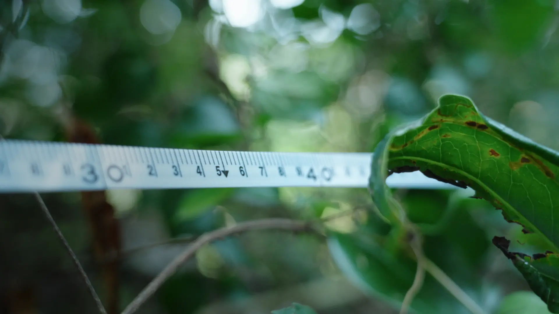
Uneven terrain, dense vegetation, and human error introduce inconsistencies. Small deviations in DBH or height can significantly affect timber volume and carbon storage calculations.
Slow, Fragmented Workflows
Despite intensive fieldwork, traditional surveys often yield only basic outputs, while deeper analysis and digital modeling require additional tools and repeated work.
Why Choose FJD Trion?
4×
Faster Field-to-Result Workflow
-90%
Measurement Time
97%
Measurement Accuracy
9 mm
Average DBH Error
How it works
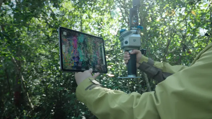
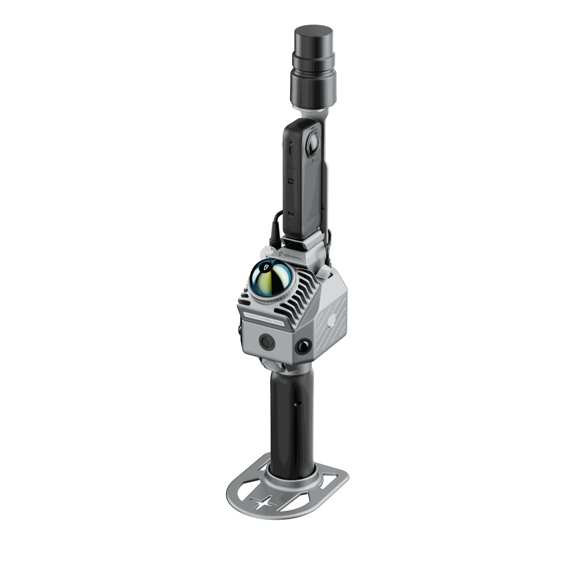
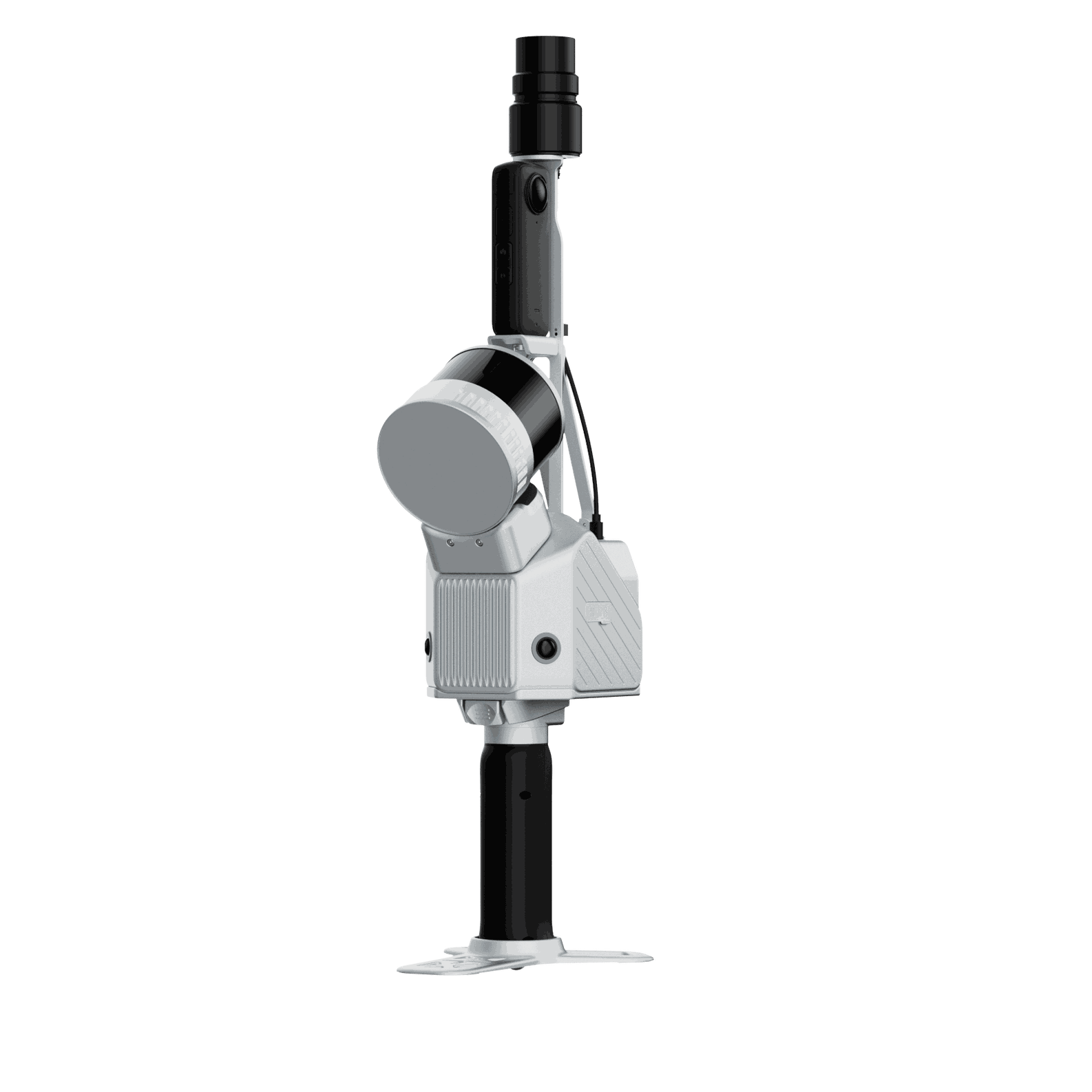
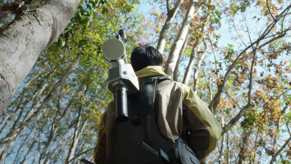
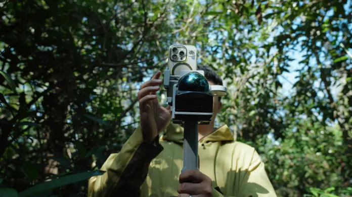
1. Scan the forest
Capture forest data across the site with the FJD Trion scanner, whether handheld, drone-mounted, or carried in a backpack, generating raw point clouds and image data for processing.
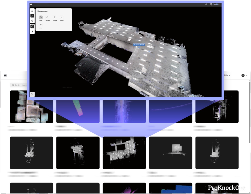
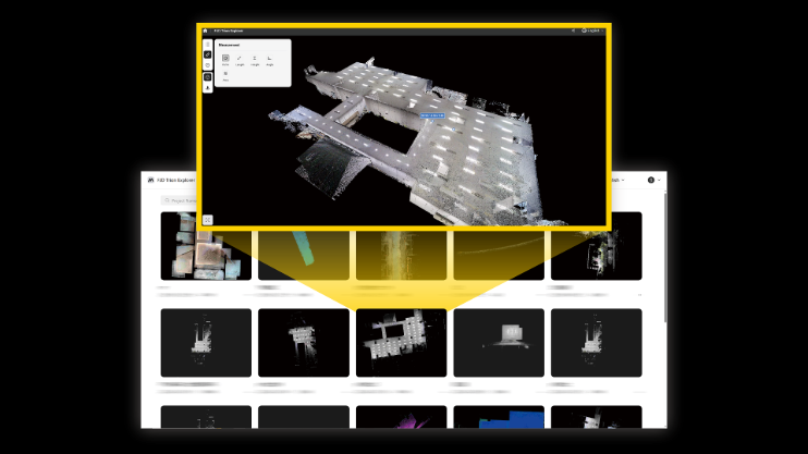
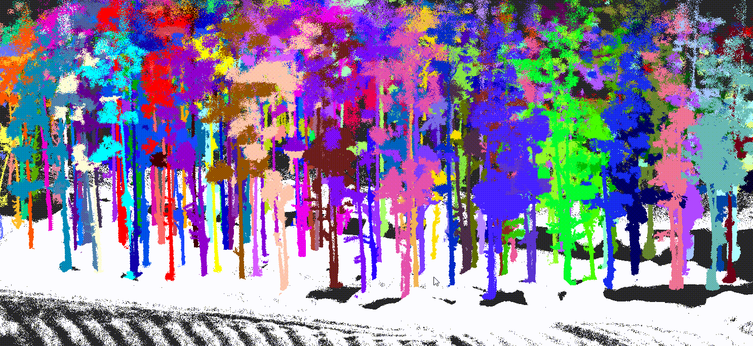
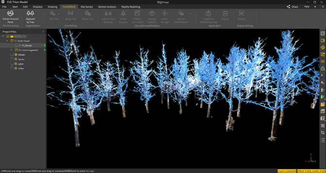
2. Process the data
Separate individual trees from the point cloud and assign each one a unique ID, creating a clear foundation for tree level analysis.
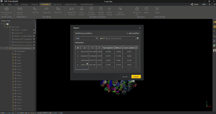
3. Extract Key Insights
Automatically calculate key forestry parameters, including height, DBH, crown width, timber volume, species, and carbon related data, then export ready to use reports at tree level.
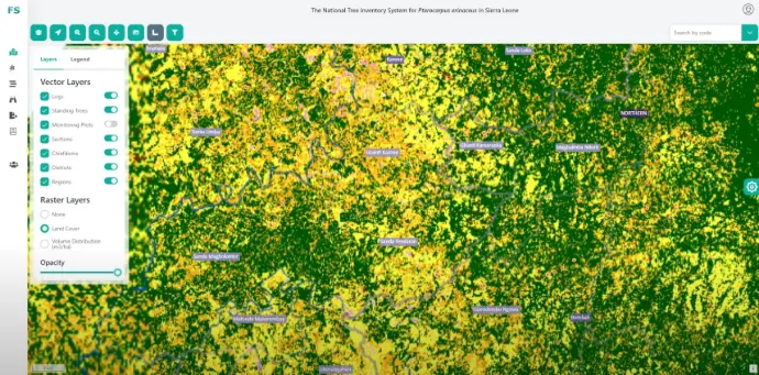
4. Enable Smarter Management
Integrate forestry data into management systems for monitoring, planning, and long term operations.
After
With FJD Trion, forestry teams can capture complete forest data faster, generate objective 3D outputs, and produce usable digital results with less effort, better accuracy, and a more efficient workflow.
“It is easy to use and easy to understand, both in terms of its limitations and its benefits. I am convinced that, in the forest sector, FJD Trion is the best tool available today to capture nature and convert it into a digital format.”
Bogdan Congra, Forest Design
Romania
Before
Forestry surveys were once slow and labor-intensive. Surveyors had to measure trees one by one with manual tools, and subjective judgment often made results less consistent and harder to trust.