FJD Trion V4e Go
Make the leap to real LiDAR
Have you outgrown phone LiDAR? Feel like you need an upgrade?V4e Go is your next step, offering a dependable way to capture spaces and build clearer project records. Serious results, but without a serious price tag.

Des scans précis dès le premier passage
154,600 points per second, every time. Each walkthrough delivers dense, accurate data, so the first scan is the one you keep.
Ready in a Snap
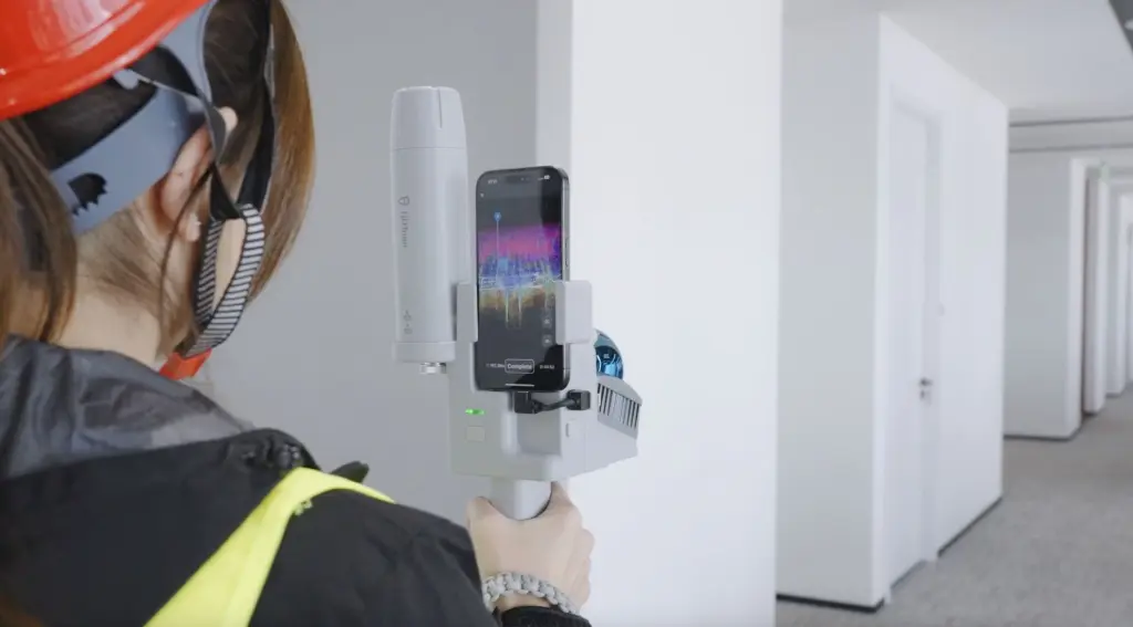
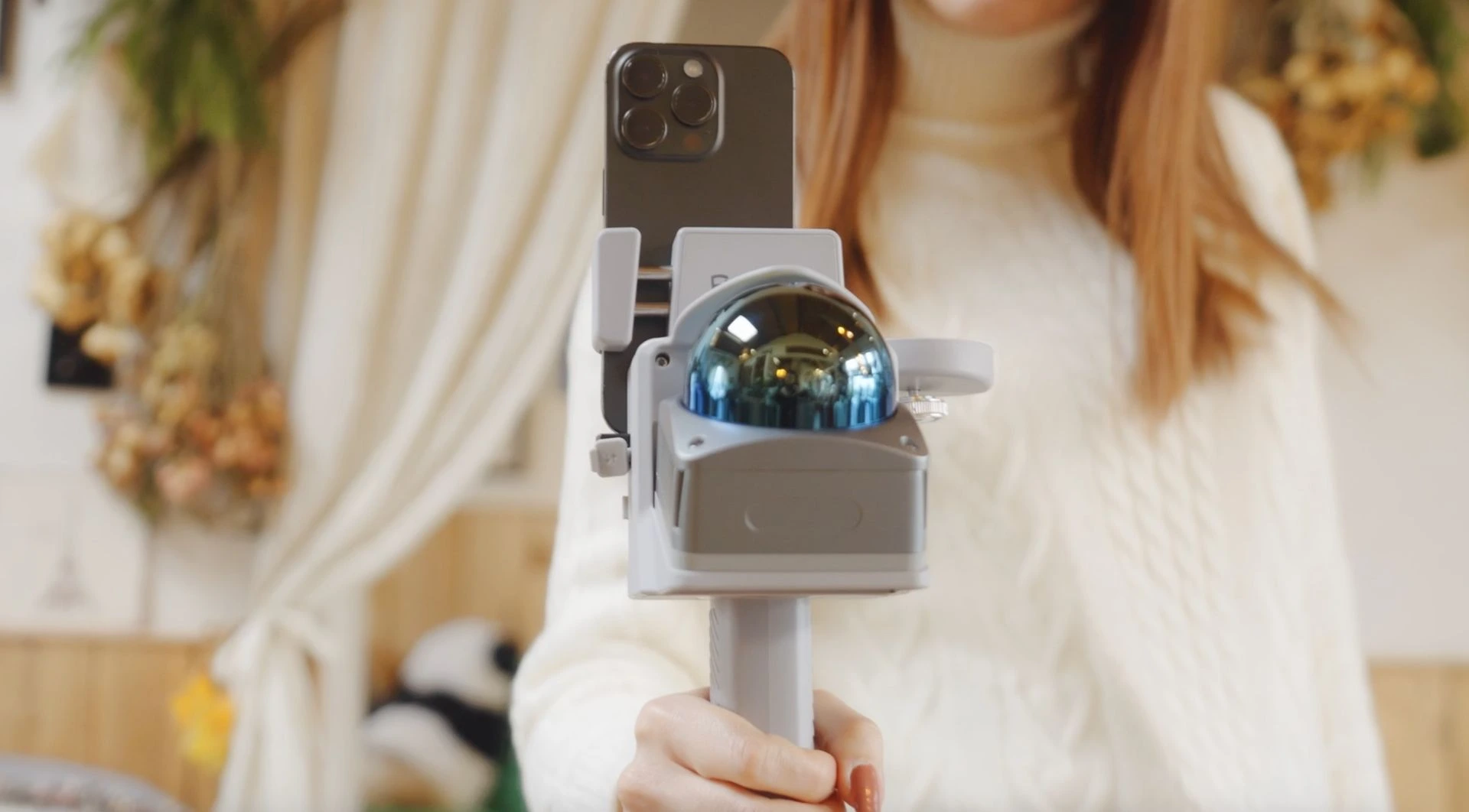
The magnetic mounting system securely connects your phone in seconds, so you can snap on, power up, and get straight to work.

More Ways to Go
V4e Go supports a wide range of smartphones, fitting into your workflow without forcing your team to switch devices.
Both Indoor & Outdoor
Handle interiors with confidence, then add the GNSS receiver for centimetre-level outdoor positioning in real-world coordinates.
A Workflow in Motion
Watch Reality Take Shape
FJD Trion Creative
The FJD Trion Creative mobile app gives you a live view of every scan. Connect your phone to V4e Go to watch the 3D point cloud come together in real time and review the captured data while still on site, making potential gaps easier to recognise before you finish.
Keep Every Result Within Reach
FJD Trion Creative Portal
One tap and sync your scan to FJD Trion Creative Portal. Process your capture data and turn it into editable DXF. Adjust walls, add doors and windows, then export the final floor plan all in the cloud.
Light as a Cloud
FJD Trion Model Web
Going beyond interior design? Upload your data to FJD Trion Model Web for practical project results, then review, manage and share your work with your team from any browser.
Built for real-world projects
Floor Plans
For focused indoor spaces
BIM Models
For compact design projects
Tree Inventory
For localised vegetation surveys
Volume Analysis
For inventory checks and volume tracking
Créez votre offre FJD Trion
Nos solutions prennent en charge différents flux de travail de terrain dans la construction, la foresterie, l’exploitation minière, l’inspection, la cartographie, la sécurité publique, et bien plus encore. La combinaison de produits dépend de la façon dont votre équipe travaille aujourd’hui et de là où du temps ou de l’argent se perd.
Si vous partagez votre type de projet, flux de travail actuel et principal défi, nos experts peuvent vous proposer une solution FJD Trion adaptée à votre équipe. Besoin d’une consultation ou d’une démonstration gratuite ? Contactez-nous
V4e Go Specifications
LiDAR
0.05-50 m (réflectivité de 90 %)
0.1-25 m (réflectivité de 10 %)
Absolue : 3 cm
Vertical: -10° to 60°
905 nm ±5 nm
Mobile Compatibility
Spécifications électriques & d’interface
Physical Characteristics
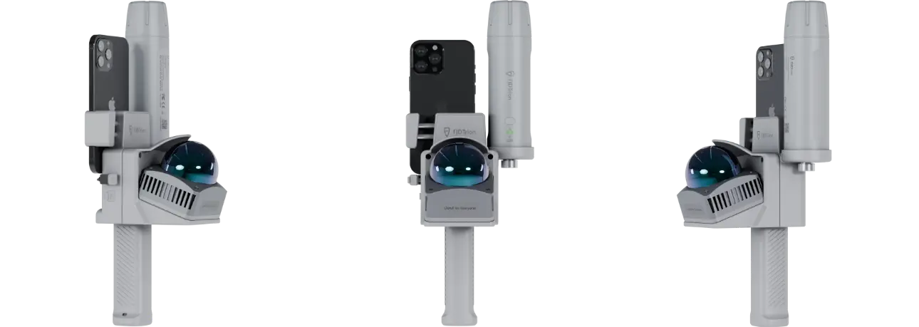
140 × 167 × 270 mm
Mounting Interface
Operating Temperature
Charging Temperature
GNSS Specifications
GNSS
B1I, B2I, B3I, B1C, B2a, B2b*
GLONASS
Galileo
QZSS
SBAS
Parallel Channels
Data Types
Differential Data Formats
Output Data Format
Precision and Reliability
≤ 1 s
Hot start: ≤ 5 s
RTK Initialization Time
Initialization Data Reliability
Data Update Rate
1 Hz, 2 Hz, 5 Hz, 10 Hz, 20 Hz
Single Point Positioning Accuracy (RMS)
DGPS (RMS)
RTK (RMS)
Time Accuracy (RMS)
Speed Accuracy (RMS)
Laser Tilt Measurement Accuracy (V4e Pro)
(θ ≤ 30°)
Tilt Measurement Accuracy (V4e Pro)
3D error ≤ 3.5 cm (θ ≤ 60°)
